Your cart is currently empty!
Cape Alava and Wedding Rocks
Cape Alava and Wedding Rocks – 6.5mi / 10.5km

This walk through a lush forest and prairie grasslands takes you to the rocky, Pacific coastline and site of ancient petroglyphs. The trail starts behind a large interpretive display where it promptly crosses over the slow moving Ozette River with views of Ozette Lake.
The trail enters into the forest where it reaches a junction. Take a right to head out to Cape Alava. You’ll cruise, often on boardwalks, through the forest full of large trees and varied, dense flora. The wonderful forest opens up as you get to the grassy Ahlstroms Prairie. You dive back into the forest, then another open grassland before a short, steep descent to the coastline.
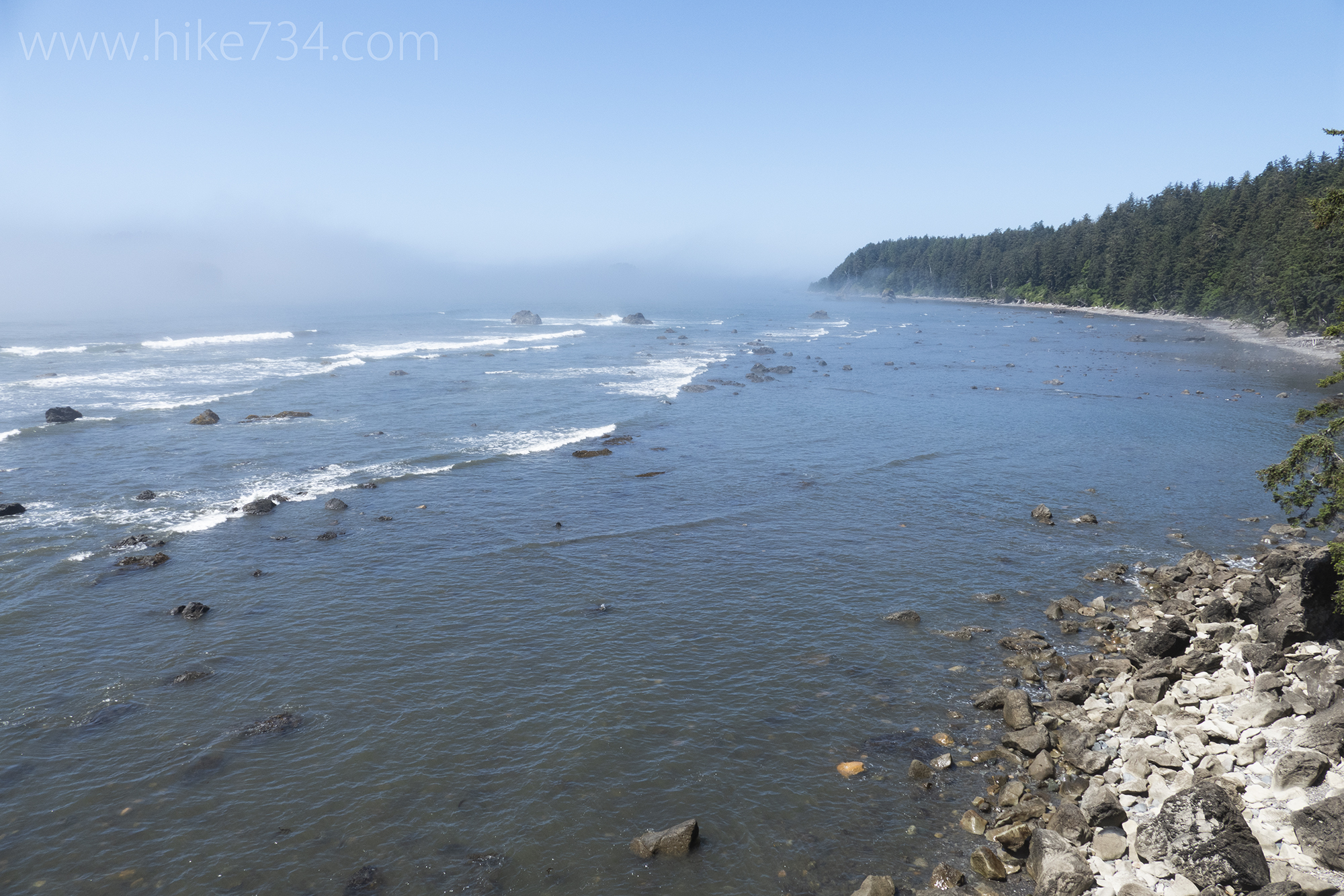
Here, tide pools line the shores and trees grow on Ozette Island not far from the shoreline. Numerous sea stacks dot the seascape and are frequented by birds. Continue 1.1mi/1.8km south along the coastline to the ancient petroglyphs at Wedding Rocks before turning around.
Alternatively, head further down to Sand Point and back along that trail to complete the Ozette Triangle Loop (see Sand Point Trail for description). This 9.4mi/15.1km loop has some wonderful tide pools, but should only be attempted at lower tides.
Trailhead: Head west from Port Angeles on Hwy 101 to Hwy 112 towards Neah Bay (or take Hwy 113 to Hwy 112 if coming from Forks). Take a left on the Hoko-Ozette Road and follow it for 21 miles to the ranger station.
Elevation Gain: 600ft / 180m – Elevation Loss: 600ft / 180m