
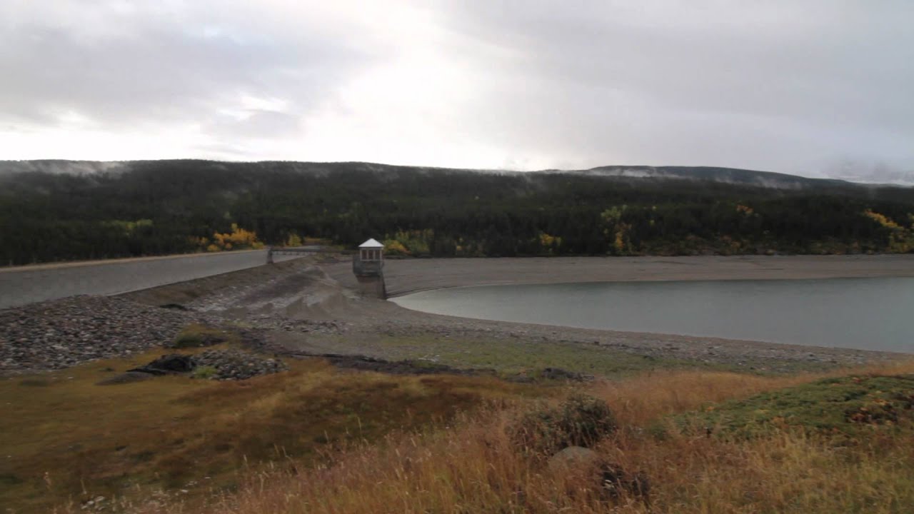
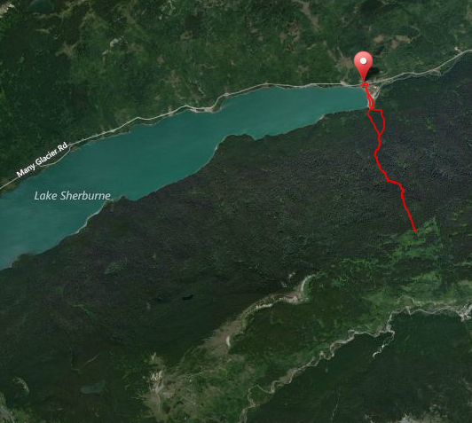
On your way into the Many Glacier area of Glacier National Park, you may notice the dam at the foot of Lake Sherburne. On the other side of this dam is an old trail along the boundary heading up to Boulder Ridge. This trail used to provide access up and over Boulder Ridge to the Boulder Creek drainage and out to St. Mary. Today the trail only goes up to the ridge.
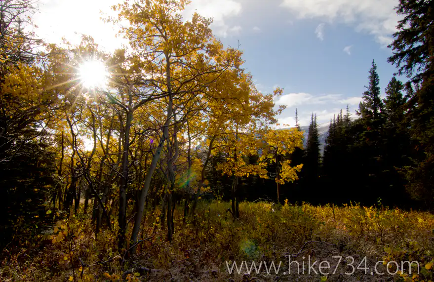
To access the trail, you park at the dam, then walk along the dam on the Swiftcurrent Creek side. Once there, take the road down and look for a trail to your right. If you start hiking right away, you’ll walk up the boundary and see the trail cross. It is a nice little forested walk that’s pretty steep and then dumps you out into a little meadow.
You can walk up the meadow to the summit of the ridge or turn back around. The trail that used to go down is nonexistent anymore. I believe this trail is primarily used by the Glacier Mountaineering Society for trips up boulder ridge and I’m guessing the NPS employees to manage livestock from coming into the Park.
Unless your goal is Boulder Ridge summit or to get every mile of trail, however, I don’t really recommend making a special trip out here unless you just want to see it. 😀

Leave a Reply