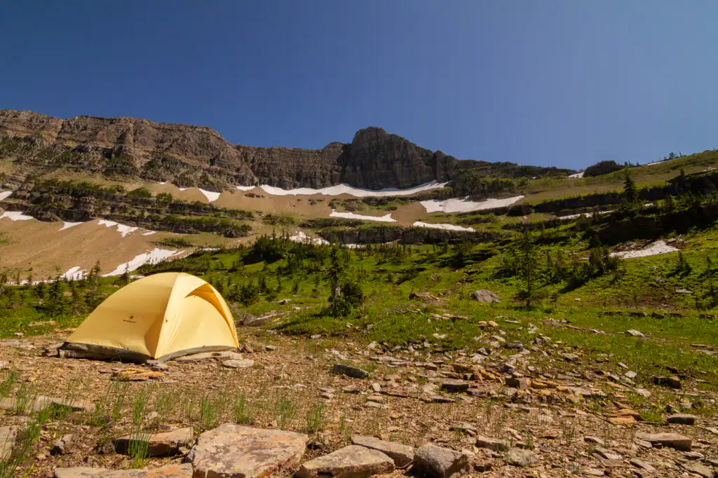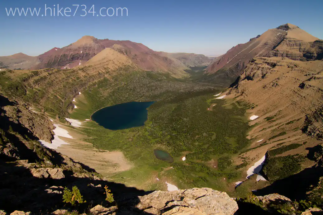
Glacier is a place of deep valleys, steep peaks, dense forests, alpine meadows, and gorgeous turquoise lakes. With dramatic terrain and some of the most rewarding day hikes in the country, it’s a park where every trail feels like an adventure waiting to happen.
But with so many incredible hikes and expansive landscape — most visitors quickly feel overwhelmed.
- Which hikes are right for me?
- How many regions of the park should I visit?
- How do I get a parking spot at Logan Pass?

Plan, hike & explore with confidence
Glacier is huge, complex, and unforgettable — and we’re here to help you make the most of every moment.
Whether you’re here for a day or a full week, these planning resources will help you choose the right hikes and navigate the park with confidence.
We’re here to help!
Jake’s ranking of every day hike
After hiking all 734 miles of trail in Glacier, Jake created a ranked list of every day hike. The ranking system is based upon which hikes Jake feels will give you the most “bang for your buck” — starting with the Highline Trail, which embodies all of what makes Glacier so unique and spectacular.
Use the table below to learn more about the park regions and corresponding hikes.
Trip reports & trail videos
See what the hikes actually look and feel like. Our Glacier trip reports and videos show trail conditions, scenery, and what to expect before you step foot on the trail.
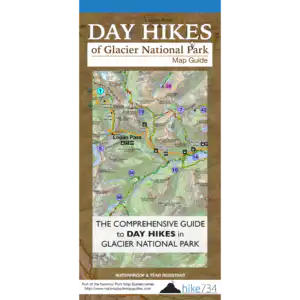
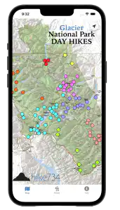
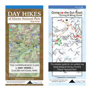
Glacier Map guides
These are our all-in-one planning, hiking, driving, and biking resources.
All the visual information of a map paired with expert recommendations and all the trail and park specific details of a guidebook — they’re waterproof, lightweight and fit into any backpack!
NOW AVAILABLE IN
PRINT & DIGITAL APP

Regions of Glacier National Park:
- BR – Belly River
- GH – Goat Haunt
- LM – Lake McDonald
- MG – Many Glacier
- NF – North Fork
- SM – St. Mary
- TM – Two Medicine
- WA – Walton
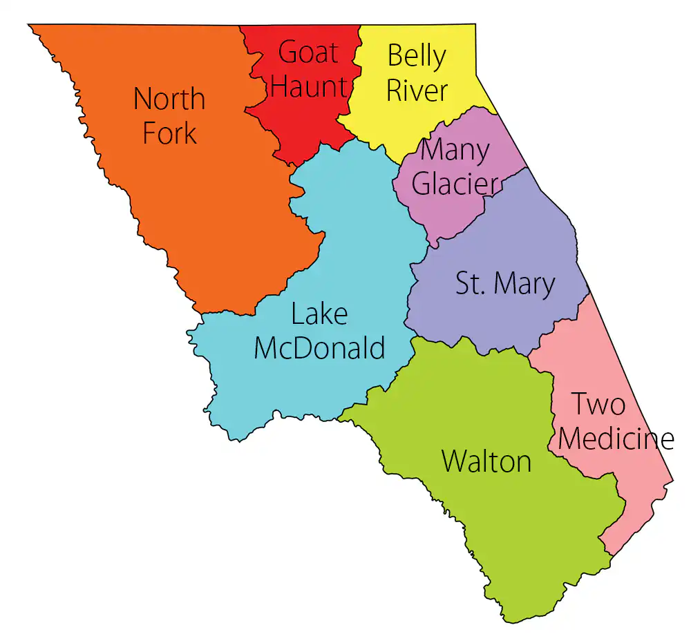
Note: All of this information and MORE is included in the Day Hikes of Glacier National Park Map Guide — you’ll be glad to have it when there’s no cell service in the park!
- Click each trail name to learn more about the hike
- Click on a table header to sort by that column
Backpacking in Glacier?