Your cart is currently empty!
Deer Ridge

Deer Ridge – 10.2mi / 16.4km

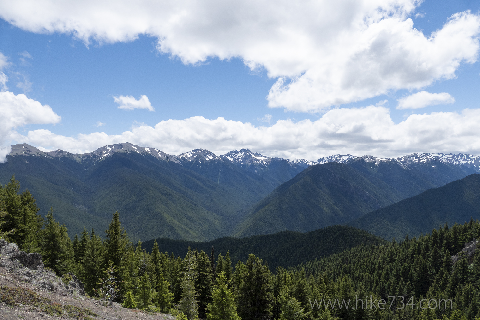
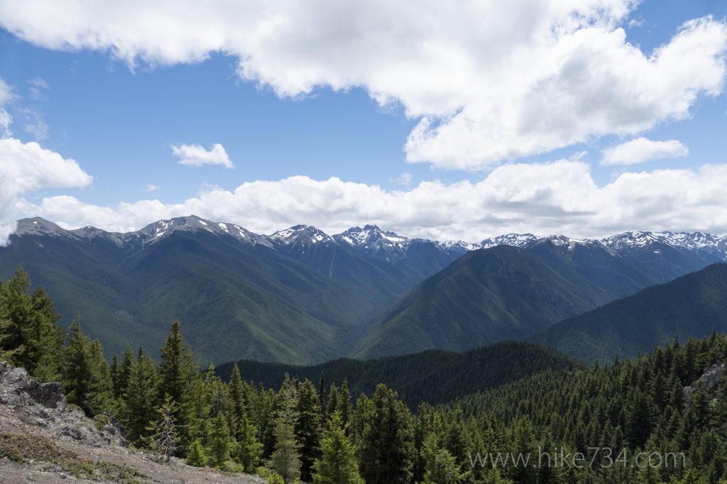
Generous views of the massive, wooded ridges surrounding the Gray Wolf River drainage await at the top of this forested climb. The trail begins in the national forest climbing through the trees. While this area receives a fraction of the rain that the west side of the mountains receives, the variety of fauna is stunning nonetheless.
Views begin as the trail wraps around the ridge and heads west. The trail finally levels out, with panoramic views looking south, as you enter the meadows and the campground at Deer Park where you’ll turn around and head back down.
Trailhead: Head south on the Taylor Cutoff Road (located just west of Sequim) which becomes the Lost Mountain Road. Take a left on the gravel Slab Camp Road (USFS 2870). Turn right on the subtly marked Forest Service Road 2575. Stay on this main road past smaller junctions all the way to the obvious trailhead at the large bend in the road.
Elevation Gain: 3,200ft / 960m – Elevation Loss: 3,200ft / 960m


