Your cart is currently empty!
Sam’s River Loop
Sam’s River Loop – 3mi / 4.8km
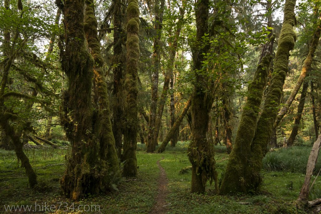
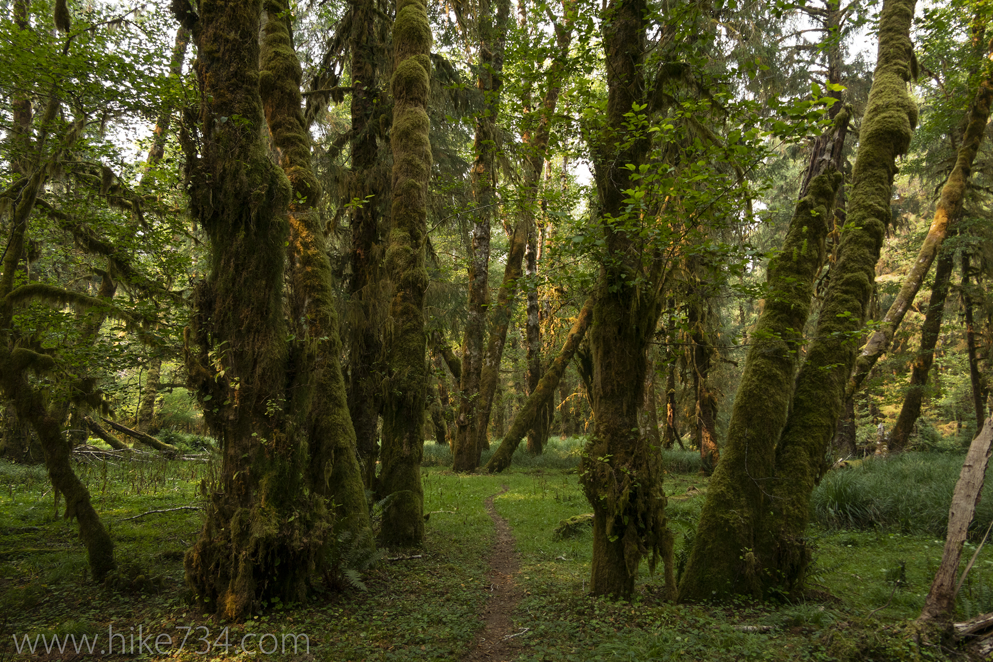
This easy loop travels through a fantastic combination of moss-laden rain forest and grassy meadows, with views along the beautiful Queets River. Follow the large sign at the end of the road and stay right at the trail junction.
You travel through the lush rain forest full of a wide array of ferns, moss, maples and spruce trees. The trail disappears in a few grassy meadows containing remnants of homesteaders of yesteryear. Pick up the trail again with the aid of signs and travel through more rain forest until you reach the road at the Queets Ranger Station.
The signed trail picks up on the east side of the building where you quickly come to the Queets River with its cloudy, glacially-fed water. The trail frequently looks down on the river on its way back to the road near the campground completing the loop.
Trailhead: Turn north on NF-21/Boundary Rd (look for Upper Queets Valley sign) from Hwy 101 halfway between Aberdeen and Forks (just west of Lake Quinault). Follow signs for Upper Queets on NF-21 and bear left onto gravel road NF-2180 and left again as the road enters the national park and drops into the Queets valley. Take a right and follow the road to the trailhead at the end of the road.
Elevation Gain: 50ft / 15m – Elevation Loss: 50ft / 15m