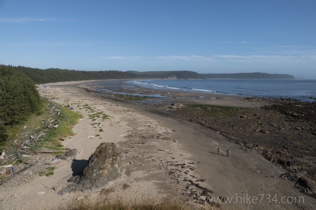
Sand Point Trail – 6mi / 9.6km

This easy walk through a lush forest takes you to the wide, sandy beaches and wonderful vistas at Sand Point. The trail starts behind a large interpretive display where it promptly crosses over the slow moving Ozette River with views of Ozette Lake.
The trail enters into a lush forest where it reaches a junction. Take a left to head out to Sand Point. Much of the trail is a boardwalk over the marshy forest floor. While the forest opens up at a few points, most of this level trail cruises through stands of enormous trees and wide variety of plants and fungi. The trail stays in the forest as it travels out to the point, with sounds of the ocean greeting you before you break out onto the wide, sandy beach.
At low tide, explore the vast tide pools to the north. Sea stacks dot the ocean. If the tide is low, consider following the rocky shoreline up to Cape Alava, passing Wedding Rocks, then back on the Cape Alava Trail for the Ozette Triangle Loop (see Cape Alava and Wedding Rocks for description).
Trailhead: Head west from Port Angeles on Hwy 101 to Hwy 112 towards Neah Bay (or take Hwy 113 to Hwy 112 if coming from Forks). Take a left on the Hoko-Ozette Road and follow it for 21 miles to the ranger station.
Elevation Gain: 350ft / 105m – Elevation Loss: 350ft / 105m


