South Fork Hoh River – 8.1mi / 13.1km
While the drive to the South Fork Hoh River is a bit longer (and rougher) than the more popular Hoh River, it leads to a quieter, temperate rain forest with frequent accessibility to its shoreline. The trail begins through state managed lands. The trees here are smaller, second growth due to logging, but the forest is still lush.
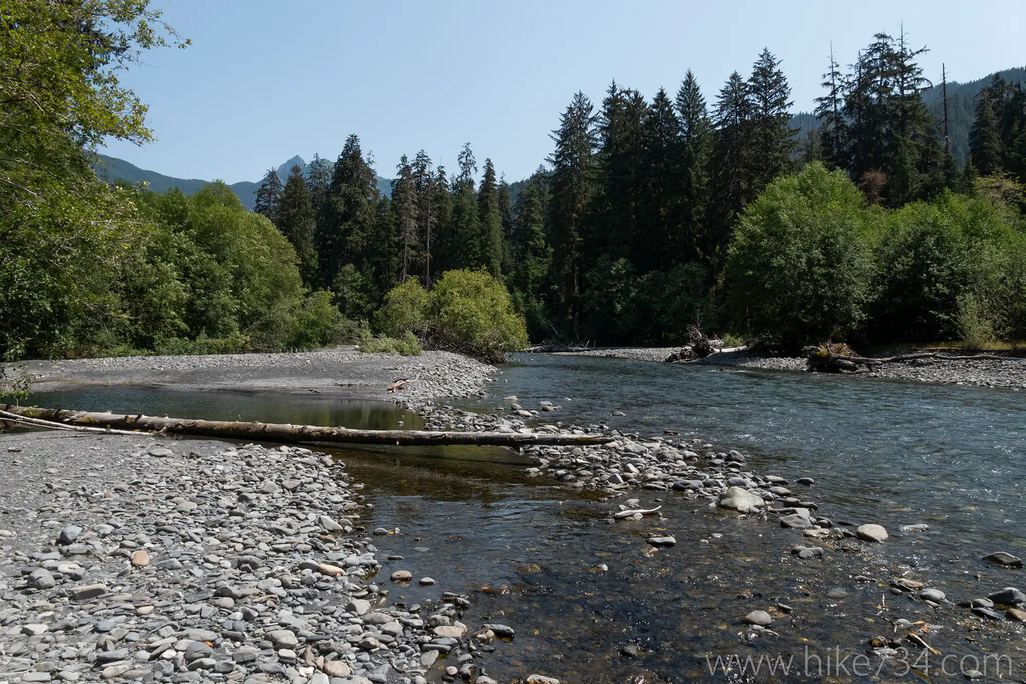
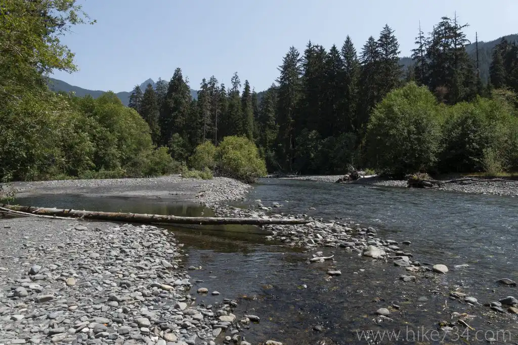
However, once you cross the park boundary, you’ll notice the immense old growth trees in addition to the moss, ferns, and infinite variety of flora. Take the spur trail to Big Flat which crosses the valley bottom to a wide bend in the river and a popular camping spot.
Continue back on the main trail as it follows the river upstream through more wonderful forest with frequent views of the river. Keep an eye out on the sandbars for herds of elk that inhabit the area. An impassible slide over the trail, that includes large boulders and trees, signals the end of the trail. Enjoy the lovely vantage over the wide bend in the river before heading back.
Trailhead: Turn onto Hoh Mainline from Hwy 101 (15.5 miles south of Forks). After 7 miles, turn onto Maple Creek Road which become H-1000. Follow the signs to the South Fork Hoh Campground, then past the campground to the trailhead at the end of the road.
Elevation Gain: 400ft / 120m – Elevation Loss: 400ft / 120m