Lava Creek – 4.7mi / 7.5km
This one-way trip follows Lava Creek and the Gardner River to Mammoth Campground and requires arranging a car shuttle. The trail starts in the open sagebrush meadows along Lava Creek. A short distance in, you come to the beautiful, tiered, Undine Falls.
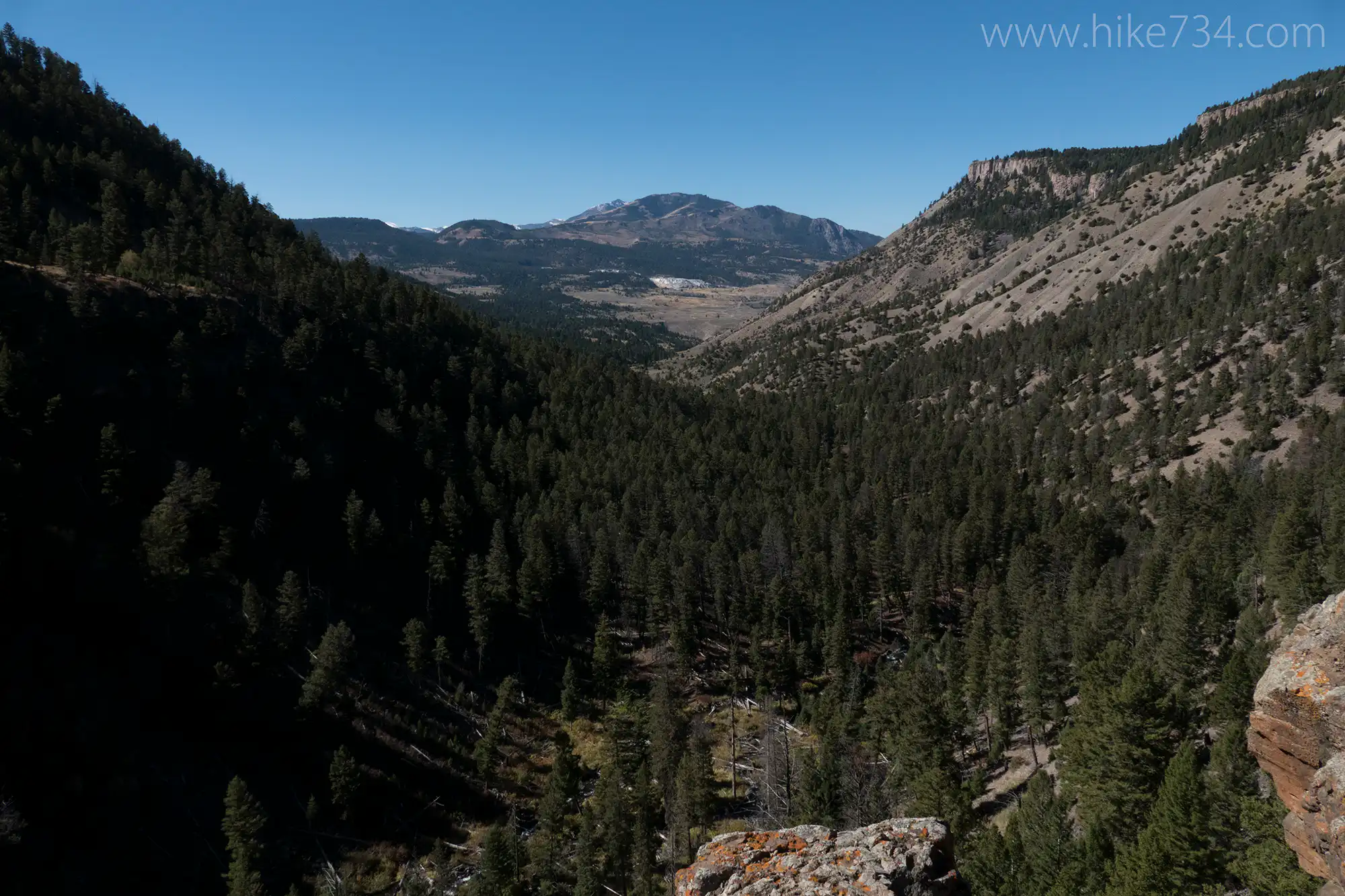
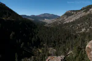
From here, the trail leaves the edge of the canyon along a bench with Mt. Everts in front of you. It rejoins the canyon at the edge of a cliff, giving you great views all the way out to the Mammoth Terraces. The trail follows this rim to the hillside. It travels through a sparsely treed section as it drops down into the valley. A look back across the valley will reveal another waterfall along Lava Creek.
The trail transitions into meadows on a primarily south facing slope, which can get hot in the afternoon. The crumbly soil from Mt. Everts frequently gets eroded from runoff and creates numerous washouts over the trail. Elk and bison frequent the ridges, so keep your eyes peeled. The Gardner River flows under the large Grand Loop Road bridge that comes into view, while Lava Creek braids out as it joins the river. The trail begins following the river as it runs along the base of the eroding mountain. Here, the trail goes through sections of cooler river bottom terrain. A footbridge crosses over to the west side of the river. The trail goes slightly up and down as it roughly follows the river. At 0.5mi/0.8km past the bridge, look for the unsigned, steep spur trail that breaks left and heads up to the campground.
For a longer hike, continue past the Lava Creek spur trail, and follow the trail to the “Boiling River” section of the river. The option ends at the parking lot near the 45th parallel. The “Boiling River” section is closed during high water in the spring, so make sure you check with the visitor center before choosing this route that adds 0.6mi/1km to your hike. This trail can be paired with the Rescue Creek Trail for a 14.5mi/23.4km loop that will require arranging a short car shuttle. (See Rescue Creek Trail for description.)
Trailhead: Parking is located between Mammoth Hot Springs and Tower-Roosevelt at the Lava Creek Picnic Area. Cross the road to reach the trailhead. The ending trailhead is signed as “Lava Cr” and located on the east side of the North Entrance Road, across from the Mammoth Campground.
Elevation Gain: 250ft / 75m – Elevation Loss: 900ft / 270m