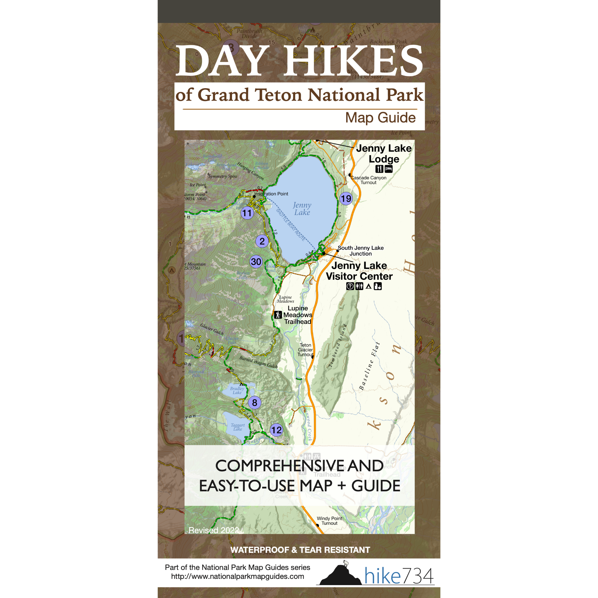
Day Hikes of Grand Teton National Park Map Guide
Grand Teton National Park is known for its iconic peaks, and the hiking trails explore some of the most striking scenery in the Rockies. But with a diverse variety of trails ranging from gentle shoreline strolls to more challenging canyon climbs, it can be difficult to know which hikes are the right fit for you.
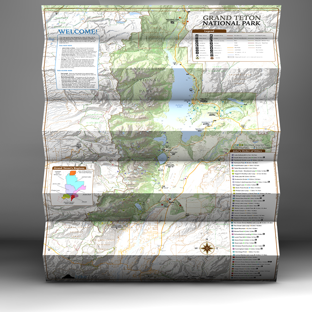
This hybrid map and guide is the answer to finding the best hikes in Grand Tetons National Park. It combines a detailed, easy-to-read topographic map with accurate trail descriptions, Jake’s honest rankings, and recommendations based on firsthand experience.
Whether it’s your first time visiting the park or you’re just looking for a new trail to explore, this comprehensive tool will help eliminate the guesswork and make the most of every moment.
Description
An all-in-one hiking and planning resource for Grand Tetons National Park.
Designed by hikers, for hikers — to help you stress less, plan easier, find the best hikes, and have amazing adventures.
Trails ranked by Jake of Hike 734
– Instantly know which hikes are worth it and which ones to skip.
– No more second-guessing or wasting your limited vacation time.
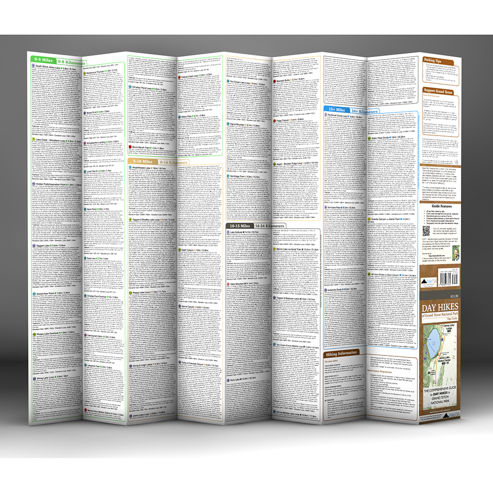
Detailed trail descriptions
– Easily compare hikes and get a sense of what you’ll experience.
– Know exactly how long a trail is, trailhead location, and bonus trail information.
Color-coded trail segments indicate trail steepness
– Quickly see if a trail is level, climbs gradually or shoots straight uphill.
– Confidently choose hikes that match your ability and expectations.
FEATURES
- 48 day hikes identified
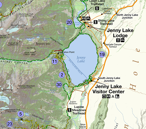
- Beautiful, topographical trail map
- Distances labeled between junctions and/or features
- Icons for family-friendly, early season, and accessible hikes
- Lightweight, waterproof and tear-resistant material
- Ideal fold-out size of 39″ x 26″
Reviews
-

I bought this map along with the Day Hikes of Yellowstone National Park Map Guide for an upcoming trip and I couldn’t be happier. These maps, along with Jake’s hike reviews on YouTube, have helped me tremendously in the planning of our trip. I have purchased a handful of other guide books for the area, but these maps are going to be my go to resources while in GTNP and Yellowstone. I particularly appreciate that each hike has a description, they are color coded by area, organized by distance, and of course, ranked in order of Jake’s recommendations. All of this info on a map that takes up very little room in my daypack. Jake, thank you very much for putting these maps together. I truly appreciate the effort that went into making them and I feel much more prepared for our trip because of them.
-

I ordered this on Friday and received it in the mail Monday, from Kalispell Montana`to Charleston SC (East Coast)! With, no less, a personal note. Awesome Timing. The map is just wonderful. I have been on many of these trails over many years of living near and now going to Yellowstone, and now I can plan some new hikes for my next trips. I love that the Hikes are sorted by distance and have the color-coded trail segments by difficulty rating in 1/4 mile sections and the topographic lines. Getting older now and need some easier treks these days. From his awesome videos and stunning photos I can also finish sorting through over 15,000 Yellowstone photos taken over the years and I can also use Jake’s map here at home to help me figure out where I was for each set of photos and get them organized to put in my scrapbooks. These maps have a LOT OF HARD WORK put in them and are well worth the cost – and will save me time comparing hikes later. Sturdy map and will travel well – and not frustrating to re-fold. Thanks a bunch.
-

This past summer my family and I used your maps for hiking in Glacier, Yellowstone and the Tetons. As a family of two boys ages 10 and 7, they were great resources! All we had to do was look at what hikes Jake liked that were under 5 miles, and hit the trail. I think your maps are a MUST for families traveling together. These maps are great for both experienced hikers looking for long hikes and for families looking for something shorter.

