
Tag: glacier
-
Scenic Point from a friend’s perspective
—
by
A good friend of mine named Brenda Ahearn (almost like Ahern in the Park) asked me about the silver tree in Glacier National Park and I was pretty sure she was referring to one of the old white bark pines on the Scenic Point trail. She did it this past weekend and blogged about it.…
-
Boulder Ridge
—
by
On your way into the Many Glacier area of Glacier National Park, you may notice the dam at the foot of Lake Sherburne. On the other side of this dam is an old trail along the boundary heading up to Boulder Ridge. This trail used to provide access up and over Boulder Ridge to the…
-
North Fork Belly River
—
by
In the far northeast corner of Glacier National Park lies the Chief Mountain trailhead which gives you access to the Belly River drainage. Most visitors walk right past the fork in the trail that leads down to the Belly River about three miles in. While it looks just like an access to the river, it’s…
-
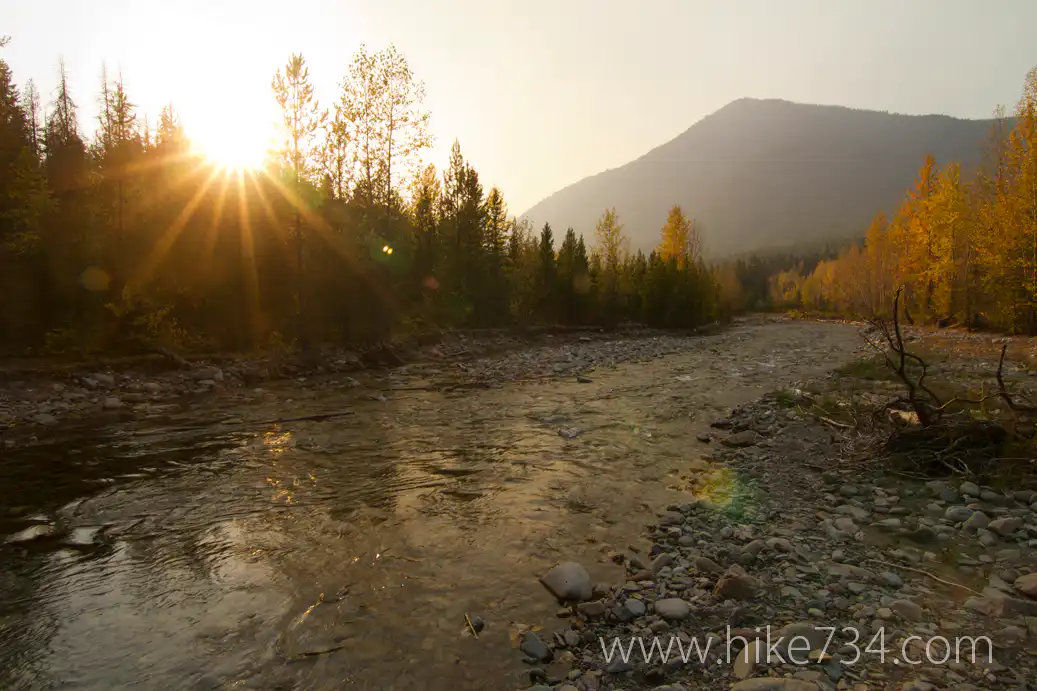
Dutch Lakes
—
by
If you’re up for an adventure in Glacier National Park that includes a little bit of route finding with a couple creek crossings to a remote lake, then Dutch Lakes in the North Fork might just be your hike. Starting out with the trailhead, things aren’t very obvious. At a bend in the road just…
-
Trout Lake
—
by
In the drainage just north of Lake McDonald lies the Camas Creek drainage. I’ve titled this as Trout Lake as this is the most famous feature in the area and the name of the trailhead that is the most popular way to access this remote and infamous* area of Glacier National Park. From the trailhead,…
-
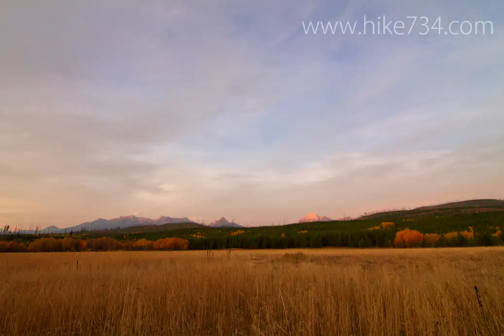
North Fork Meadows
—
by
Heading up the Inside North Fork Road in Glacier National Park, there are a bunch of meadows that dot the landscape. Three of these meadows have trails. Heading north from Fish Creek, the first meadow you come to is McGee Meadow. There is an overlook from the Camas side and this trail allows you to…
-
Coal – Fielding Trail
—
by
The old South Boundary trail used to run the entire southern length of Glacier National Park along the Middle Fork of the Flathead River. Today it stops at the Coal Creek trailhead. The southernmost trail that traverses east and west is the Coal-Fielding Trail. Starting at Coal Creek, you ford the Middle Fork of the…
-
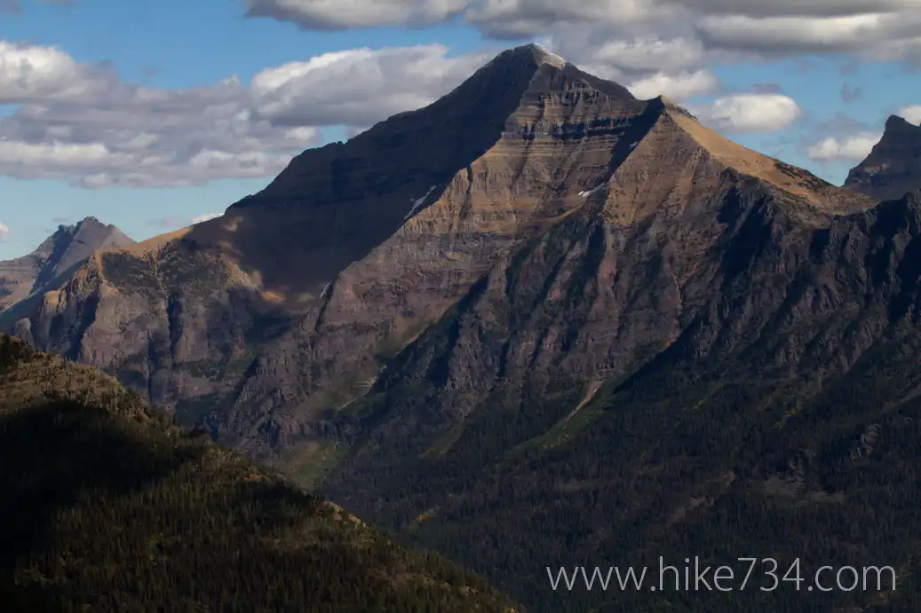
Loneman Lookout (with a little south boundary trail)
—
by
Considered the loneliest lookout (but named after the mountain which was called by a Blackfoot word meaning “Lone Man” or “Lone Chief”) Loneman Lookout rarely receives visitors, but that doesn’t mean it isn’t fantastic. Accessibility to the lookout is one of the chief factors to this as it is in the remote southern section of…
-
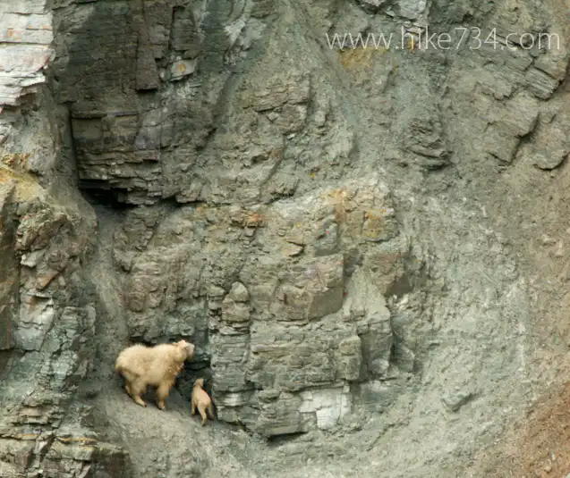
Goat Lick
—
by
In the south end of Glacier National Park, just east of Essex, lies a mineral deposit that the mountain goats find particularly delicious in the spring. While driving along Highway 2 near Essex, MT, look for the sign for the Goat Lick and pull into the parking lot. The best time to see the goats…