
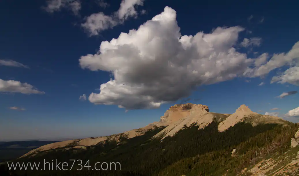
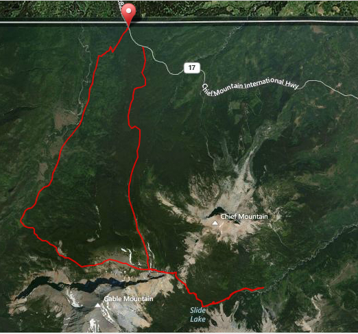
In the remote northeast corner of Glacier National Park, lies a ridge that is between Chief Mountain and the Belly River drainage. A long alpine terraced ridge, Lee Ridge gives one incredibly breathtaking panoramic views once you get above the pines.
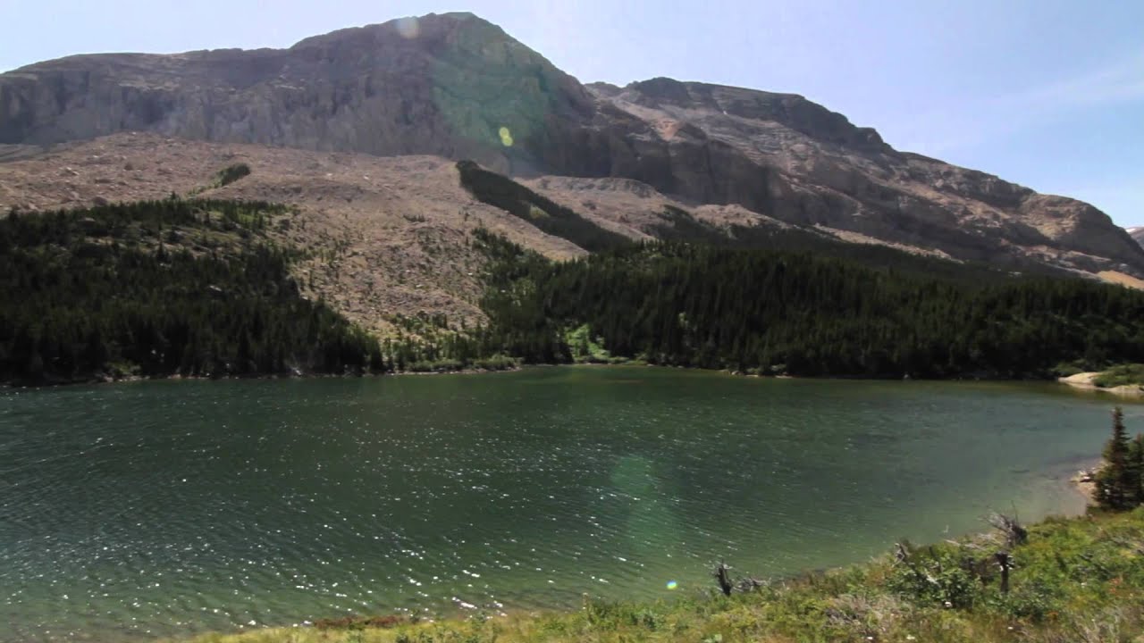
At the head of Lee Ridge and to the east, Gable Pass lies between Chief Mountain and Gable Mountain and will take you down a steep slope to Slide Lake. The trail leading to the lake follows a fantastic limestone boulder field that houses many pikas. Nestled at the base of Yellow Mountain, Slide Lake is really two lakes connected by a small creek. Following the creek out approximately a mile and a half will take you to the other trailed access to the valley where the trailhead is at the end of a long bumpy drive through Blackfeet Reservation land.
At the head of Lee Ridge and to the west, a small trail goes down to the Belly River right at the Belly River Ranger Station. Save for the very top, it’s a steep, densely treed trail and one I wouldn’t recommend to access the ridge. The ranger station and the valley that it inhabits is full of meadows and aspen stands surrounded by peaks with the Belly River running through it.

Leave a Reply