High Divide Loop – 18.8mi / 30.2km

Powerful rivers, gorgeous cascades, beautiful lakes, and an alpine ridge full of stunning views delight all day on this long, classic loop. The first stop along the way is a short walk to Sol Duc Falls (see Sol Duc Falls for description).
After enjoying the three-strand waterfall, continue on the Lovers Lane Loop Trail to the junction with the signed trail for Deer Lake. Stay left towards the lake as you climb up alongside the cascading Canyon Creek through the cathedral forest to Deer Lake (see Deer Lake for description).
Follow the trail around the lake’s eastern shoreline to the meadows at its inlet. The trail, now the High Divide Trail, ascends past small ponds and open meadows of blueberries and huckleberries. Views continuously expand as you climb up onto the ridgeline. The trail travels through a varied mix of meadows, trees, and fantastic rifts in the rocks.
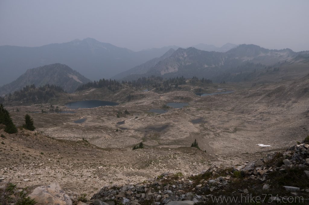
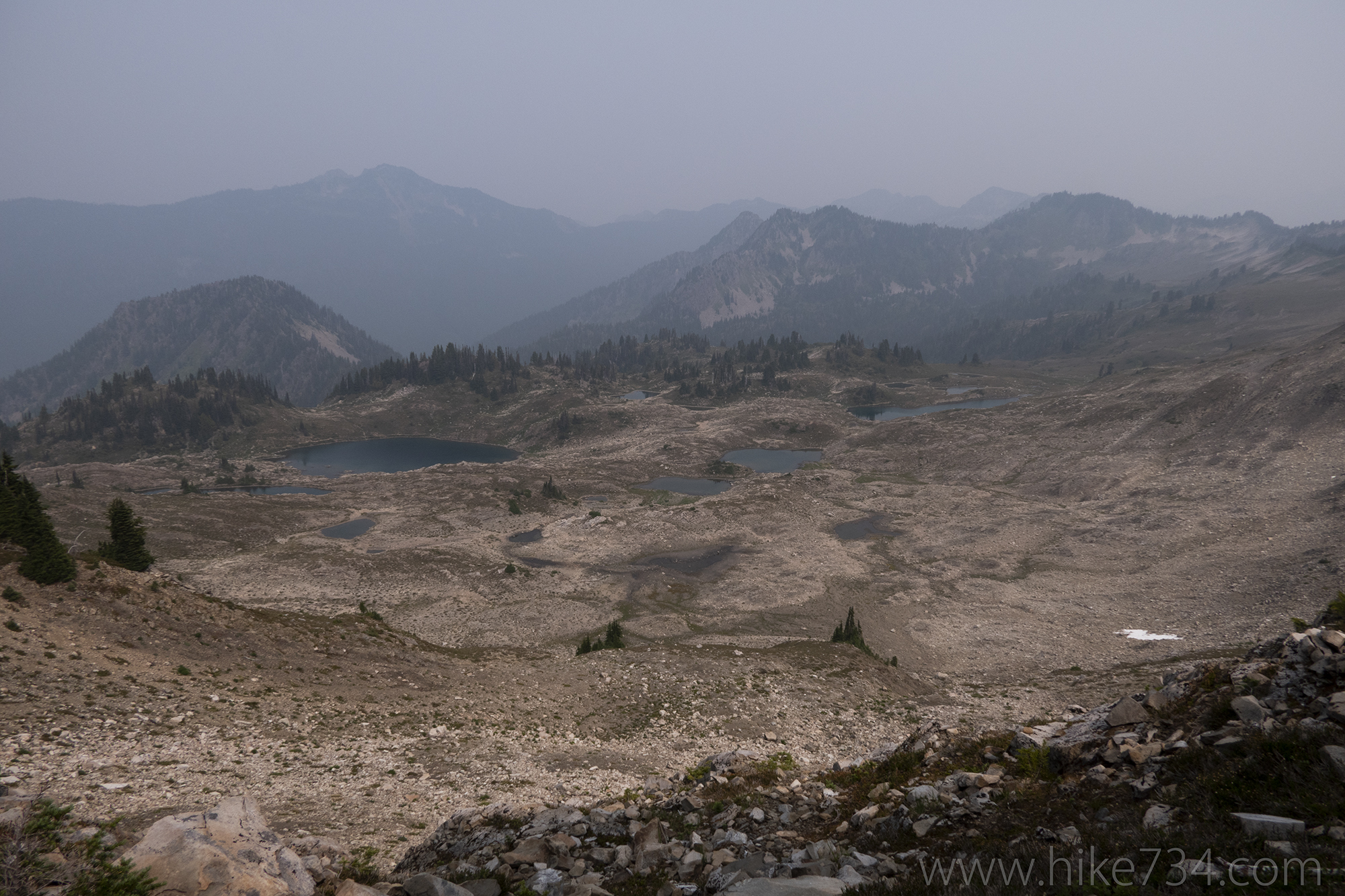
At the signed junction with the Seven Lakes Basin Trail, follow the trail for 100yd/100m to a dramatic look down onto Round Lake and Lunch Lake before returning to the High Divide Trail. The trail continues climbing through alpine meadows and wraps around Bogachiel Peak. Take the signed spur trail to the summit. From here to the top you have one of the best views from anywhere in the park of Mt. Olympus. To the north, you look down into the moonscape expanse of Seven Lakes Basin pocked with small alpine lakes and ponds.
After enjoying the panoramic views continue the ridge walk along the High Divide Trail. Stay left at the next junction as the trail drops down past the gorgeous Heart Lake and into the trees to the Sol Duc River. You’ll follow the river back to the trailhead, with occasional vantages of the cascading river. You can shave 1.9mi/3.1km and 400ft/120m elevation from the trip by turning around at Bogachiel Peak for an out-and-back hike.
Trailhead: Just east of Lake Crescent, turn onto the Sol Duc Hot Springs Road from Hwy 101. Follow the road all the way to the trailhead at the end.
Elevation Gain: 4,100ft / 1,230m – Elevation Loss: 4,100ft / 1,230m


