Estes Cone – 6.3mi / 10.2km
This path to the front row views of the Rocky Mountain Front also pass a historic mining site.
The steady grade begins from the Longs Peak Trailhead through the forest of scrappy lodgepole pines. After a little over 0.5mi/0.8km, follow the signs at the junction towards Estes Cone. The trail eases its grade as it works its way to a crossing of Inn Brook. A crumbling log structure and some rusting mining equipment are remnants of the former Eugenia Mine.
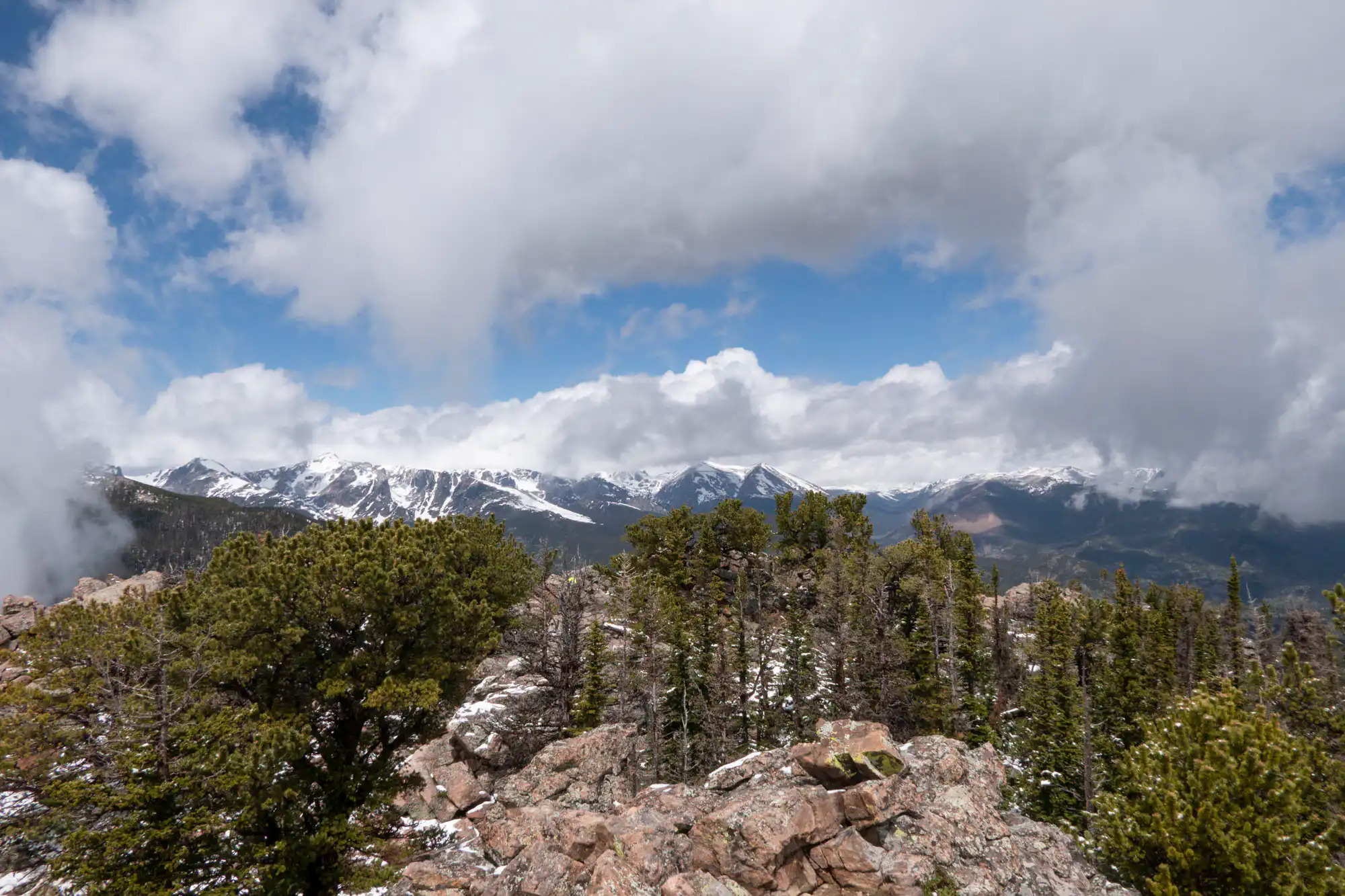
The trail descends to a junction where you’ll take a left for a forested climb up to the humble Storm Pass. (A slightly longer, alternate route, travels from Lily Lake 3.1mi/5km through the trees to Storm Pass.) Continue straight through the intersecting trails where the forest transitions to gnarled limber pines with teasing views. Pay attention to cairns here as the trail can be easy to lose through the small boulders and roots. A fun scramble gets you on top of Estes Cone where panoramic views look down to Lily Lake, across to Twin Sisters, and up to Longs Peak.
Trailhead: From Colorado Hwy 7, turn onto Longs Peak Road to the ranger station at the end of the road. For the alternate route, park at the Lily Lake Trailhead off Colorado Hwy 7.
Elevation Gain: 2,000ft / 600m – Elevation Loss: 2,000ft / 600m