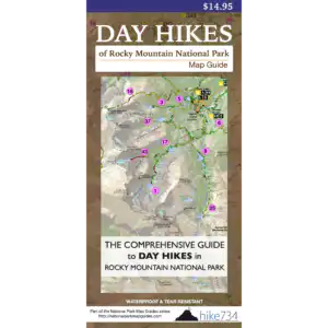
Lone Pine Lake – 11mi / 17.6km
A wonderfully varied trek up the East Inlet drainage leads to this serene wooded lake.
After a short 0.3mi/0.5mi, follow the signs for Adams Falls where East Inlet plunges into a rift in the rock, then wraps around the viewing area. Above the falls, the river slows, lazily snaking through meadows. The trail works its way up and down along the gnarled, rocky edge of the valley. Keep an eye out for a variety of wildlife from the various scenic vantages. Mt. Craig’s hulking form lurks at the head of this idyllic landscape.
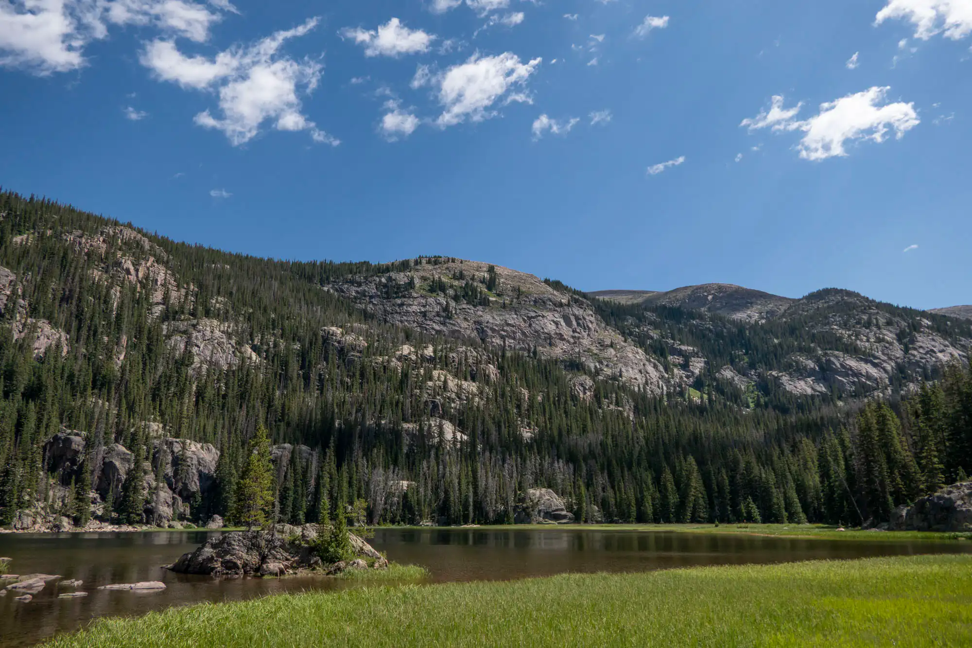
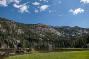
You begin climbing up on a ridge below Mt. Cairn with its rock formations towering above you. Occasional vantages offer sweeping looks back over the valley to Grand Lake. Steps hewn from the cliffs bring you back along the stream where it is crashing over the granite. Switchbacks take you up the canyon along the cascading waters as you climb up toward the lake. The trail pops out to a nice perch above the lake at its outlet. A rocky island houses a clump of small trees (formerly a single “lone pine”). The northwestern boundary of the lake is a collection of gnarled rocks while the southwestern edge features wet, grassy meadows.
Trailhead: From Hwy 36, turn onto West Portal Road to Grand Lake. Stay on West Portal Road for 2.4mi/3.9km to the trailhead at the end of the road.
Elevation Gain: 1,600ft / 480m – Elevation Loss: 1,600ft / 480m