Lost Lake – 19.1mi / 30.7km
While primarily the domain of backpackers, Lost Lake is a remote lake for day hikers looking for a long day with ample rewards.
The trail leaves the meadows at the trailhead and promptly drops down into the North Fork Big Thompson River drainage in the Commanche Peak Wilderness. You’ll closely follow this small, cascading river up through a canyon, past a summer camp. Once past the camp, the trail primarily travels through forest with some pocket meadows that give views looking out.
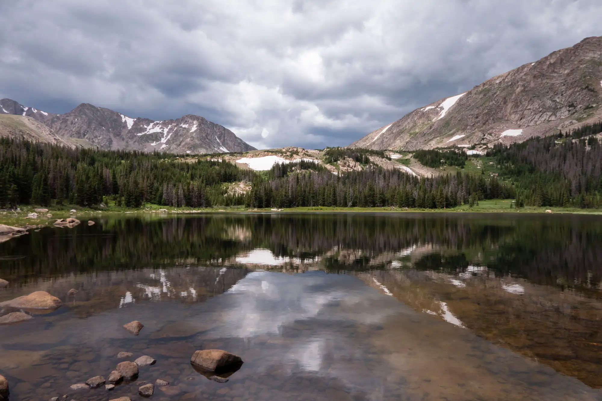
After hiking 4.5mi/7.2km, you enter the national park and continue roughly paralleling the river. As you work deeper into the mountains, the ridgelines begin to change from forested to alpine. Just past the Happily Lost campsite, the trail begins to climb more steeply. Lost Falls roars unseen in the valley below. Occasional views begin to show summits of the Mummy Range to the west. The trail eases as you enter into the lake’s basin. Meadows begin opening up with more frequency, giving wonderful views to rounded, alpine ridges and jagged summits.
To access the lake, follow the signs for the campgrounds on either side of the lake’s outlet. The lake, formerly a reservoir, has a boulder-strewn shoreline providing countless spots to enjoy the sublime setting of the lake and variety of hills, ridges, and rocky summits surrounding the lake.
Trailhead: From Hwy 34 in Estes Park, head north on MacGregor Ave, then Devils Gulch Road. Follow the road down steep, hairpin turns to the community of Glen Haven. Continue past Glen Haven to Dunraven Glade Road and follow the road 2.2mi/3.5km to the trailhead.
Elevation Gain: 3,300ft / 990m – Elevation Loss: 3,300ft / 990m