The Keyhole – 13.5mi / 21.8km
Along the way to Longs Peak, a fantastic notch on the jagged, knife-edge ridge gives you amazing views into the Glacier Gorge. From the Longs Peak Ranger Station, the trail steadily climbs through a lodgepole forest, interrupted occasionally by Alpine Brook.
After the trail crosses the creek, it transitions to incredible views looking up to mountains on one side and the plains on the other. A deceptively long trek through the tundra takes you past the junction with the Chasm Lake Trail, up to Granite Pass. Longs Peak, briefly visible before, now comes into view as you work your way up towards the Boulder Field.
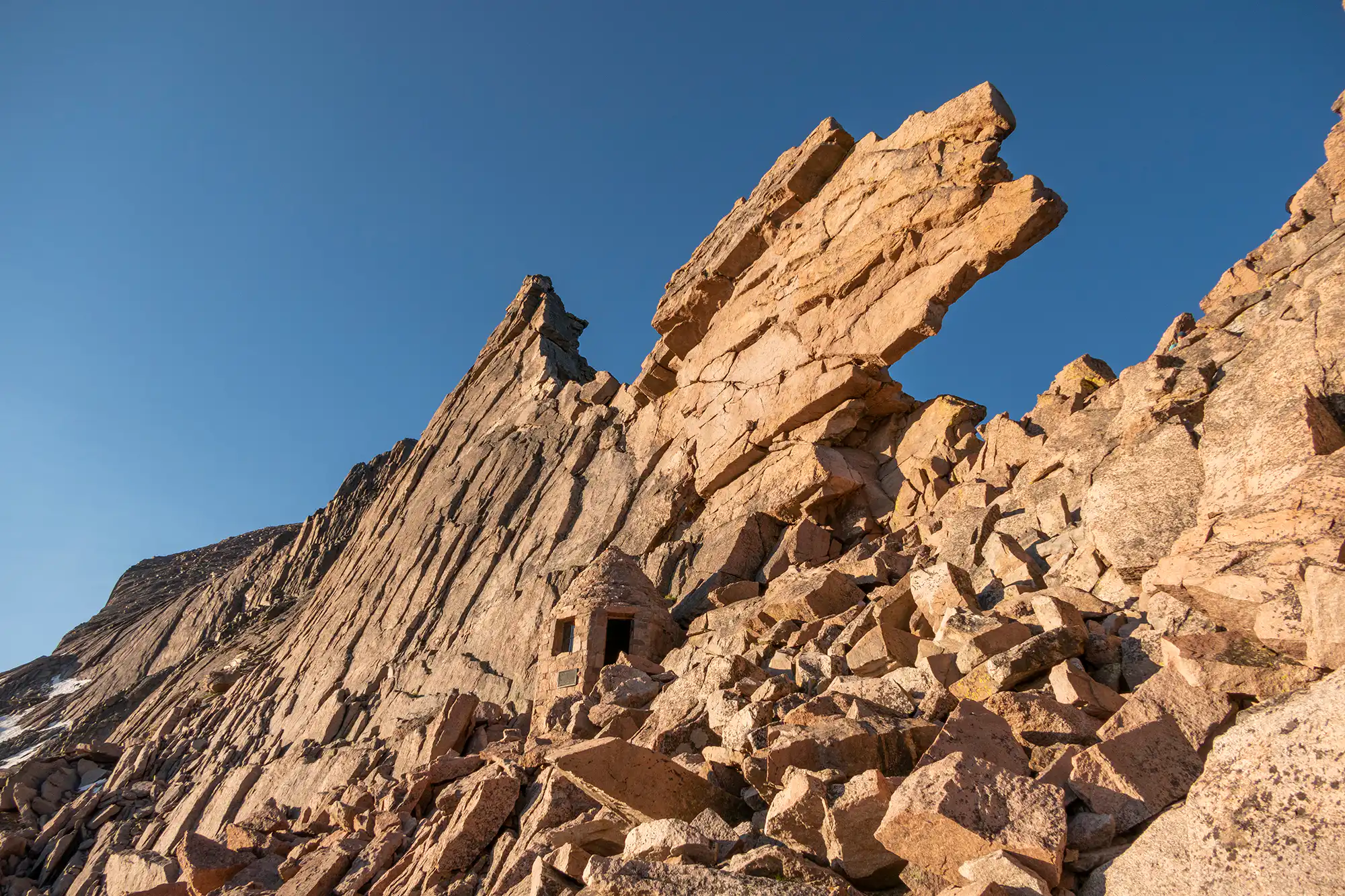
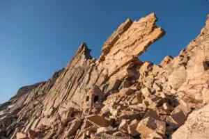
Further down the ridge from the summit, the Keyhole, named for its distinct shape, becomes visible. As you approach the Boulder Field, the low growing vegetation decreases. You’ll pass the campsites tucked in the boulders where the trail ceases and you begin working your way up towards the Keyhole.
As you navigate the boulders, the route gets steeper. The Agnes Vaille Memorial Shelter sits right below the Keyhole and is a great way to get out of the wind. A little further to the Keyhole itself gives astonishing views looking down into the gray expanse of Glacier Gorge. Summits stretch as far as the eye can see from this perch.
While the Keyhole itself can often be windy, moving to the left or right can often get you out of the wind and give you a place to enjoy the views before heading back down.
Trailhead: From Colorado Hwy 7, turn onto Longs Peak Road to the ranger station at the end of the road.
Elevation Gain: 3,850ft / 1,155m – Elevation Loss: 3,850ft / 1,155m