Your cart is currently empty!
Search results for: “trail to the cedars”
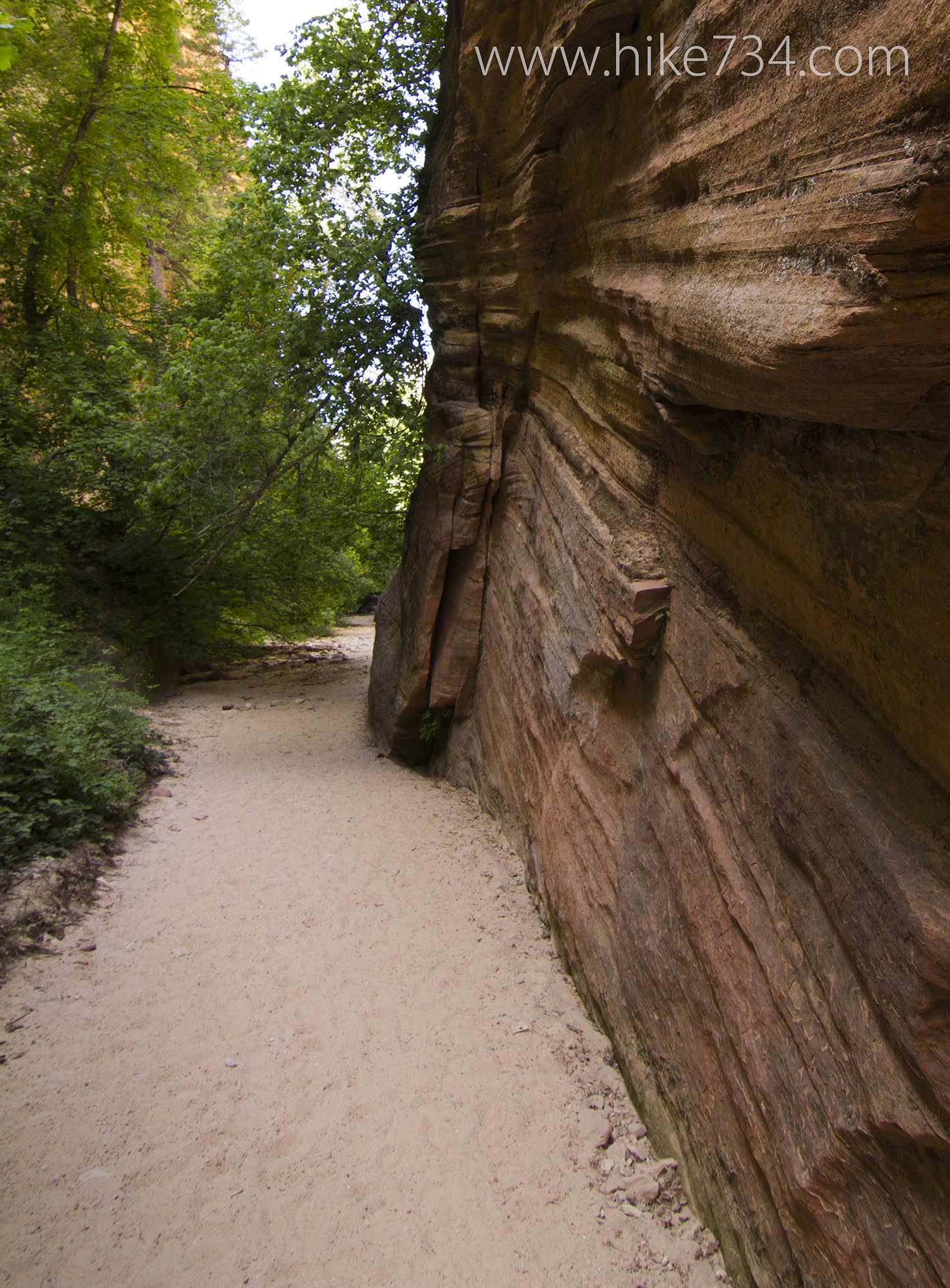
Hidden Canyon Trail
—
by
Hidden Canyon Trail – 2.5mi / 4km This short, steep hike gives you broad views until you get to the mouth of this wonderful slot canyon with steep, towering walls. Start at the trailhead for Weeping Rock. After crossing the bridge at the beginning of the trail, go straight towards Observation Point instead of left to Weeping…
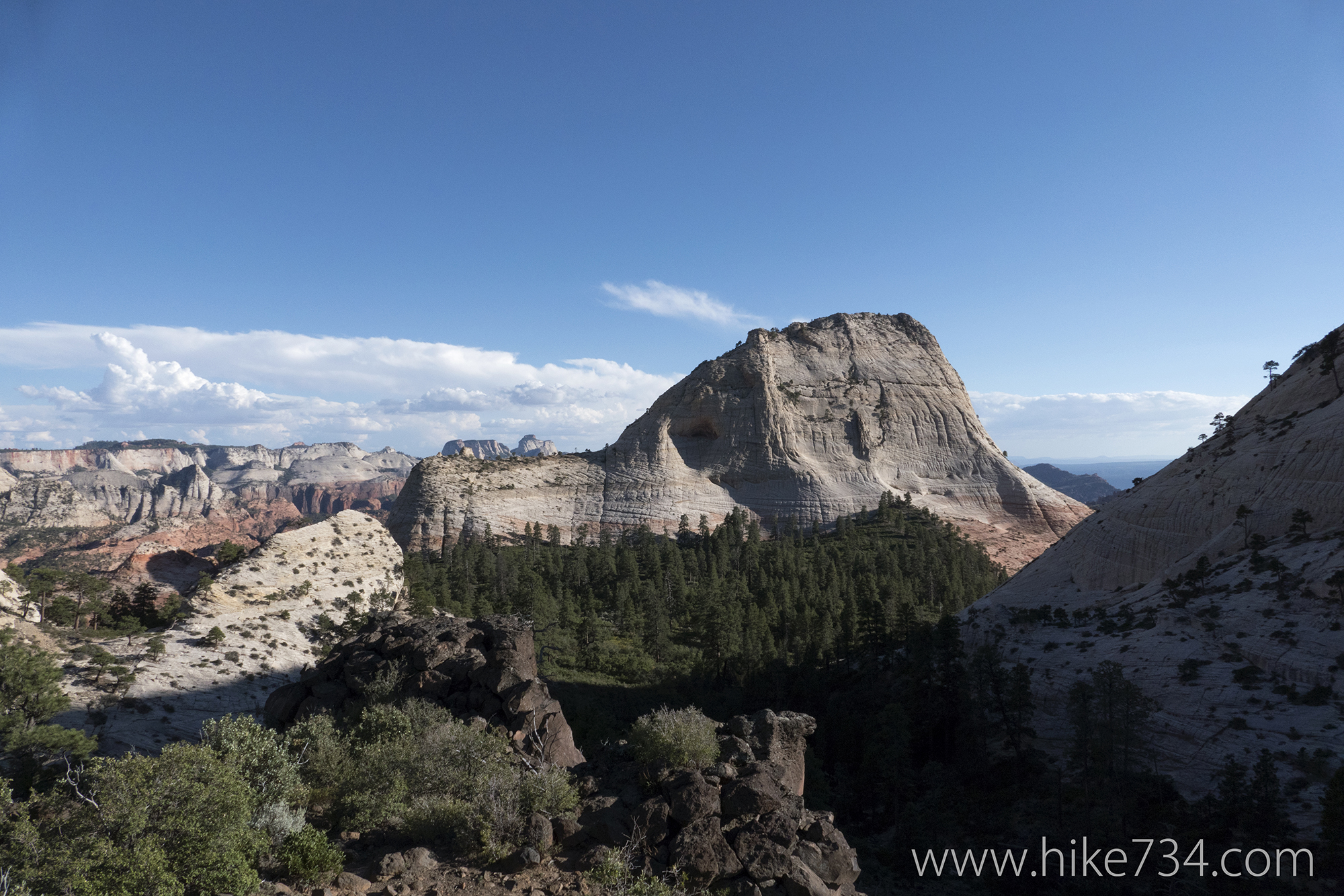
Northgate Peaks Trail
—
by
Northgate Peaks Trail – 4.2mi / 6.8km In an area known primarily by backpackers, there lies a short, level, day hike. This hike, through the pine forests of the high desert, takes you to an overlook strewn with volcanic rock and features grand views. A drive up the Kolob Terrace Road brings you to the Wildcat…
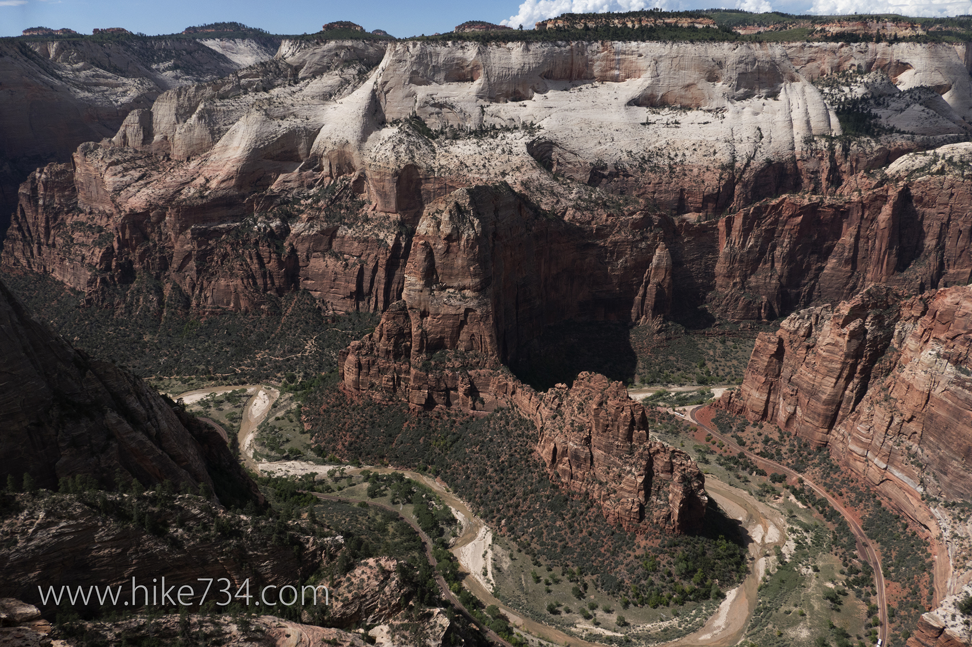
Cable Mountain
—
by
Cable Mountain – 17.7mi / 28.5km Perched high above the walls of Zion Canyon is the remains of an old, wood frame “draw works” structure. It was used to lower timber down thousands of feet to the canyon floor via a cable, hence, giving this location the name of Cable Mountain. This trail is a nice…
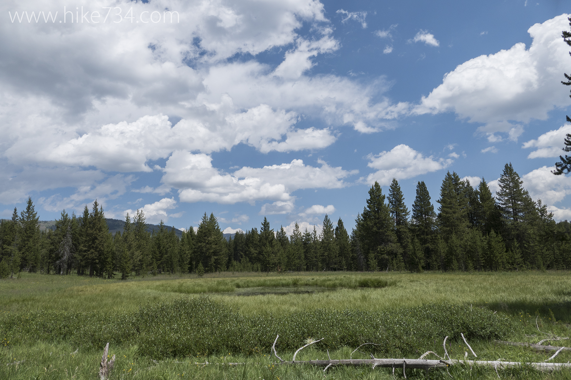
Cascade Creek Trail
—
by
The Cascade Creek Trail in Yellowstone National Park loosely follows Cascade Creek through forest and meadows to the Cascade Lake Trail. It’s a slightly longer alternate to Cascade Lake, very level, and offers a little less than the shorter, Cascade Lake Trail. The Cascade Creek Trail takes off from the Norris-Canyon Road just west of…
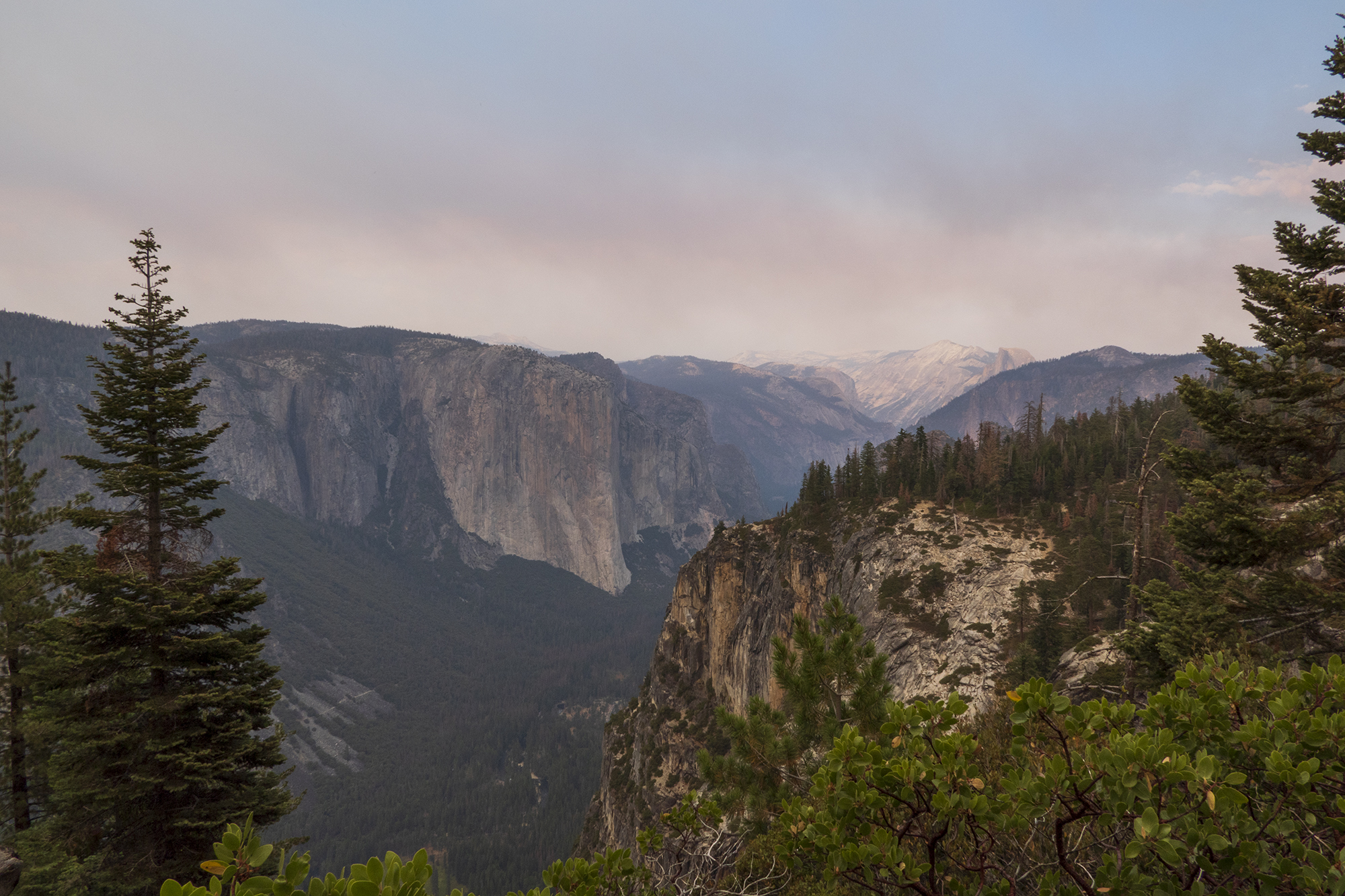
Pohono Trail
—
by
Pohono Trail – 14mi / 22.5km The Pohono Trail travels along the south rim with many points overlooking Yosemite Valley on this long, one-way trip from Glacier Point to the Wawona Tunnel. After exploring the popular and busy Glacier Point and its incredible views, find the signed Pohono Trail to the southeast. The trail leaves…
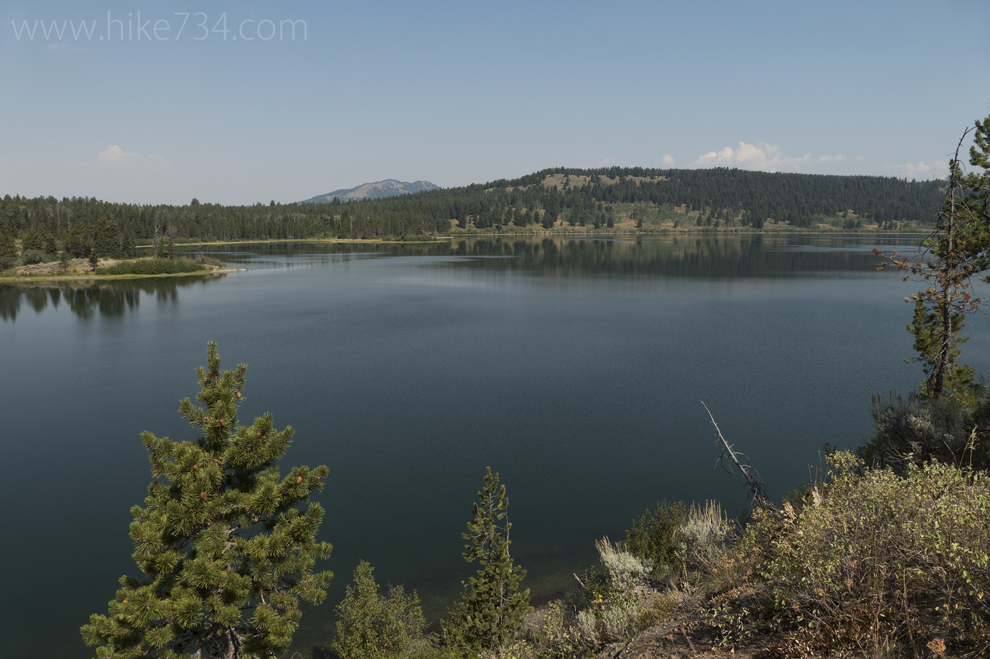
Two Ocean Lake – Emma Matilda Lake Loop
—
by
Two Ocean-Emma Matilda Lake Loop – 13.3mi / 21.4km This long loop takes you to the highlights of these two beautiful lakes as well as a stop at Grand View Point, a wonderful overlook of both lakes. From the parking lot, follow the trail down to the shore of the lake and cross over the…
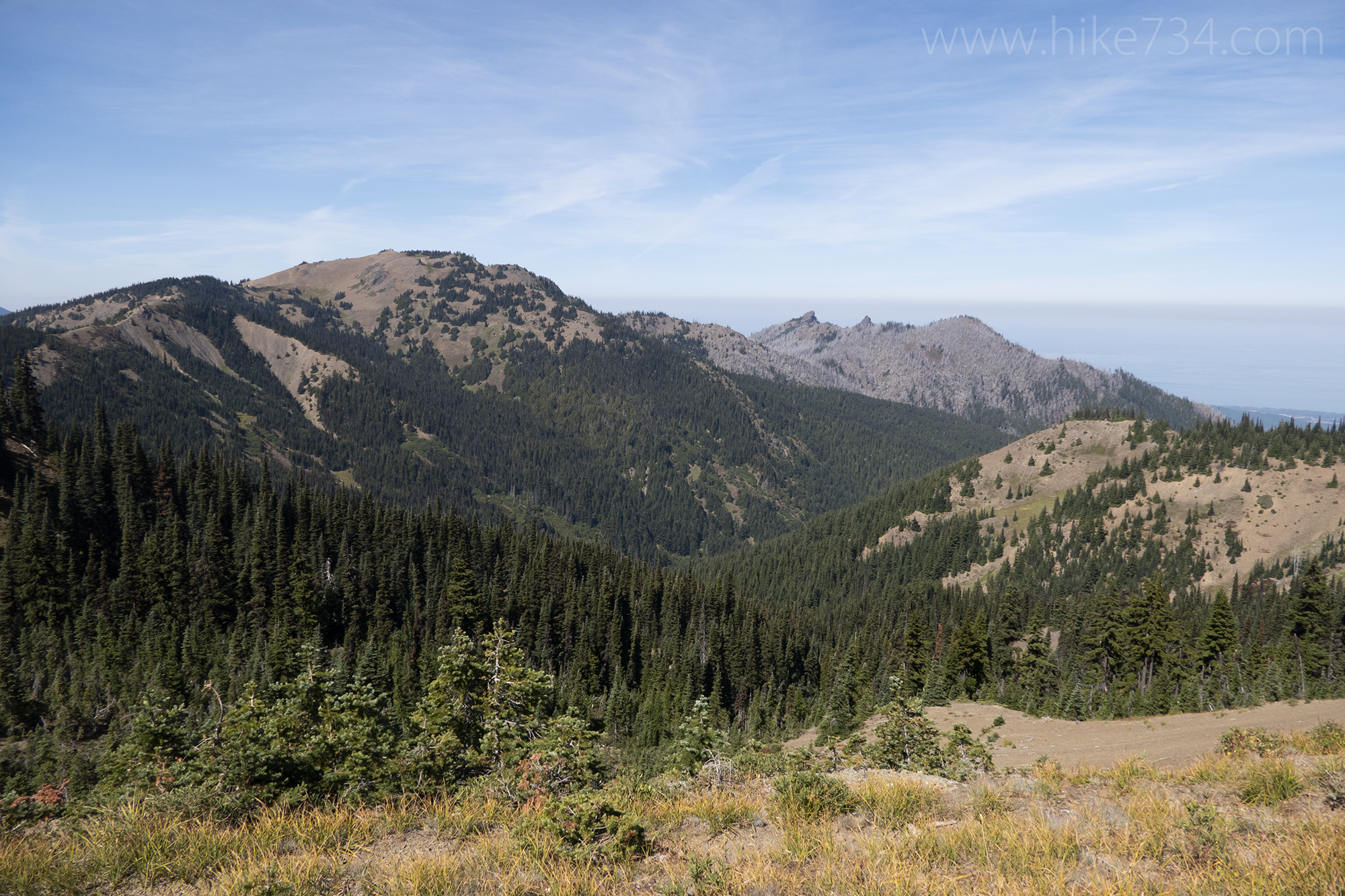
Meadow Loop Trails
—
by
Meadow Loop Trails – 0.9mi / 1.4km Paved trails explore the high alpine meadows and expansive views on Hurricane Ridge. Three different access points from the visitor center parking lot take you onto the Big Meadow Trail and the Cirque Rim Trail. The shorter Big Meadow Trail bisects the meadow and provides lovely views. It…
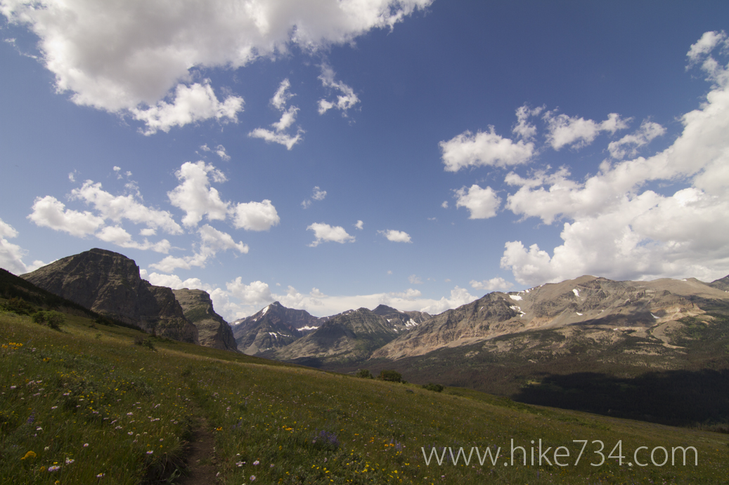
Cutbank Boundary Trails
—
by
There are a few trails that exist and are maintained, but you you won’t find them on current hiking maps. Two of those are the Mad Wolf Boundary Trail and the Cutbank Boundary Trail. These trails used to form the boundary trail that ran the entire length of the East Side of Glacier National Park,…
Mineral Creek Cabin
—
by
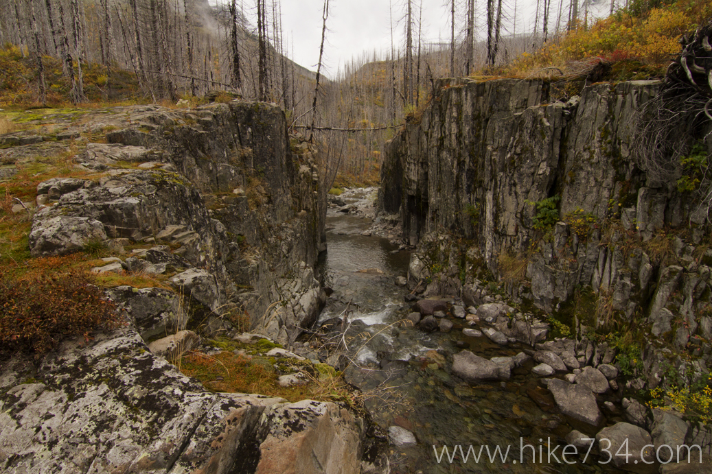
In the early days of Glacier National Park, there were two trails that went up McDonald Creek around Flattop Mountain from Packer’s Roost. One went up McDonald Creek towards Trapper Creek and joined the Northern Highline by the Fifty Mountain Campground while the other went up Mineral Creek, passed a cabin and joined the Northern…

