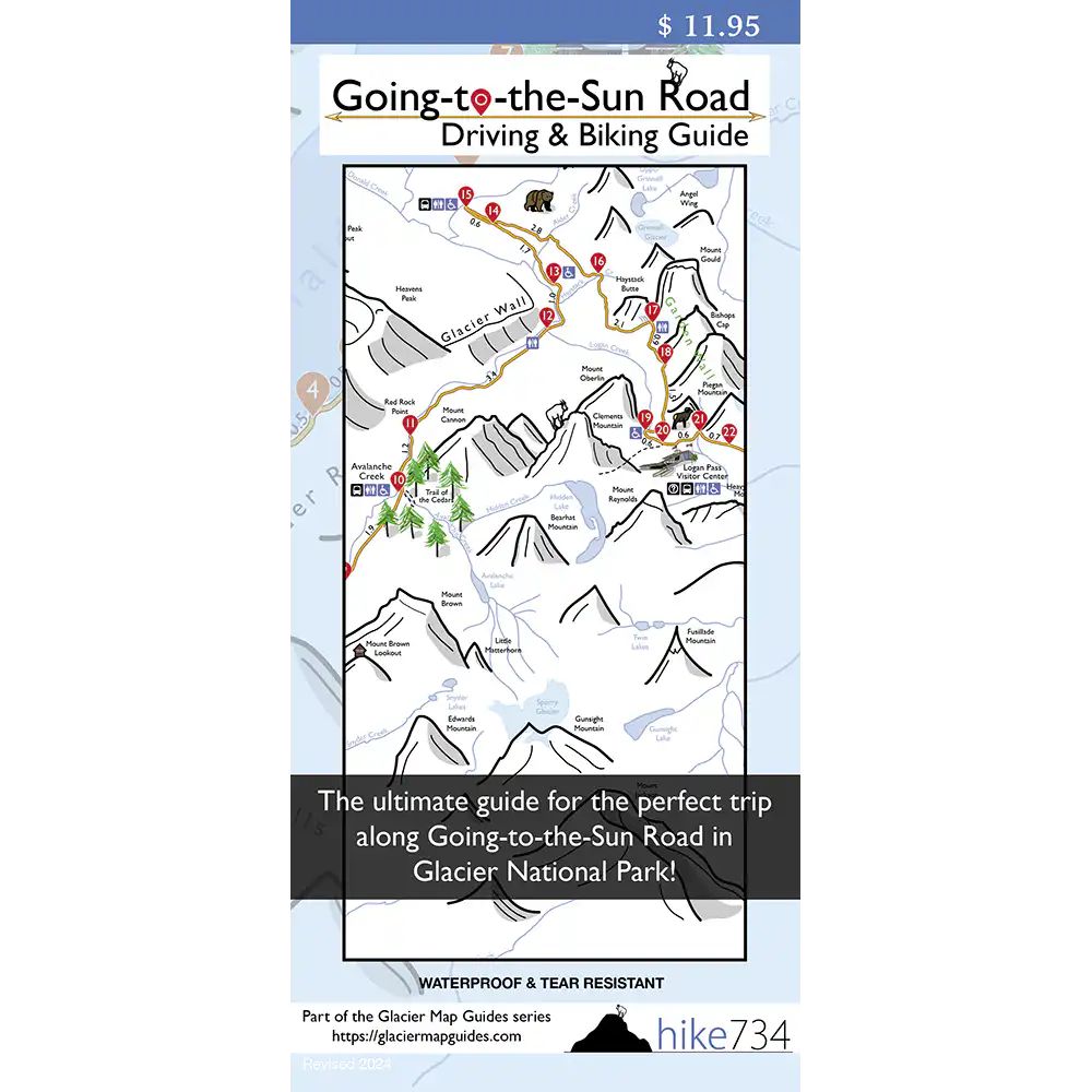
Going-to-the-Sun Road Driving & Biking Guide
$11.95
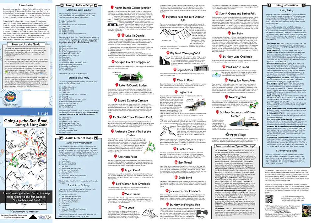
Looking for the ultimate Going-to-the-Sun Road experience? Use this map guide to find all the must-see destinations, where to park, and the order in which you should stop to get the best photos and a parking spot at Logan Pass. There’s so much to see and explore on GTTS Road— don’t miss a thing!
Description
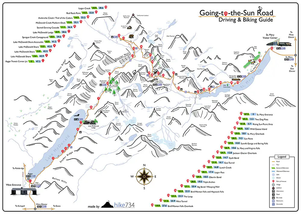
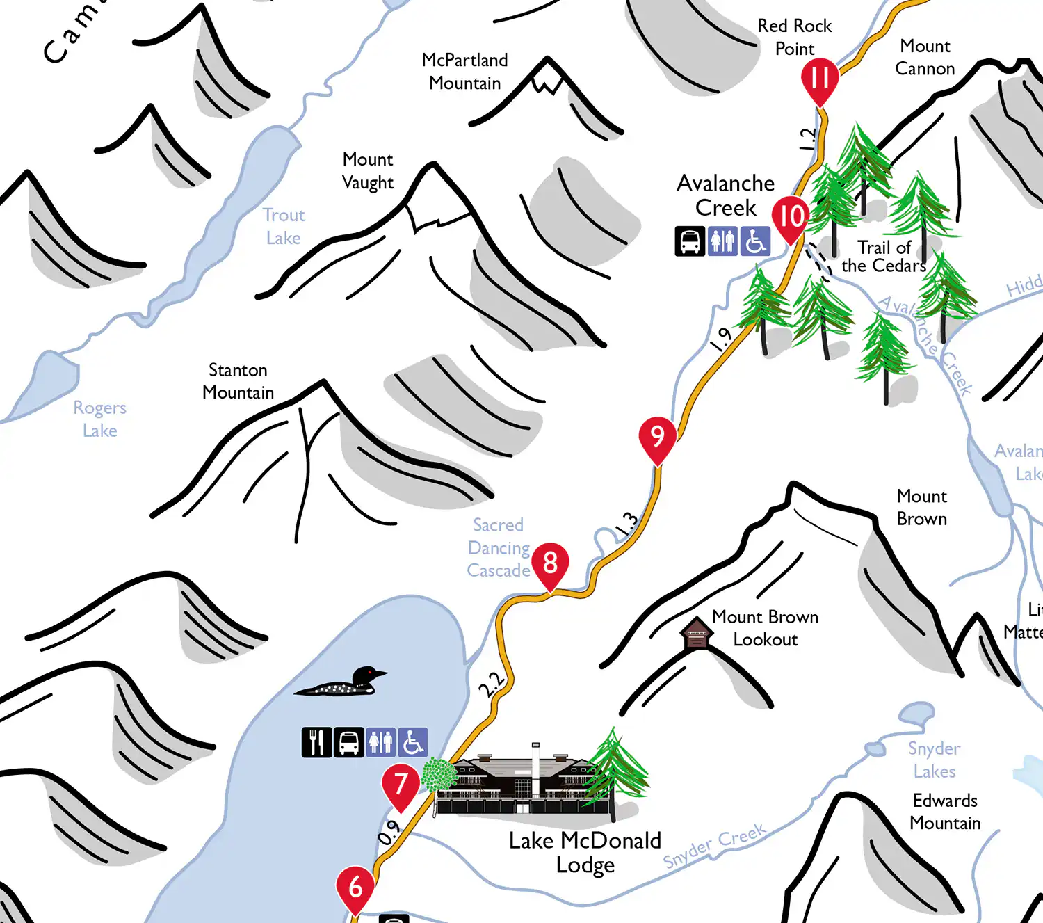
Millions travel along Going-to-the-Sun Road every year, and for good reason— there’s so much to see and explore along this scenic 50 mile stretch of road! The road winds its way from the lush forests of the west side of Glacier National Park to Logan Pass on the Continental Divide. Entering Glacier’s iconic high-country, sections of the road are literally hewn from the cliffs of the mountain. This stunning feat of engineering allows for impressive vantages of the surrounding mountain peaks and the deep glacier-carved valley below. From the Pass, the road works its way down to the plains of the east side of the Park. Along the way are forests, waterfalls, stunning vistas, and alpine meadows.
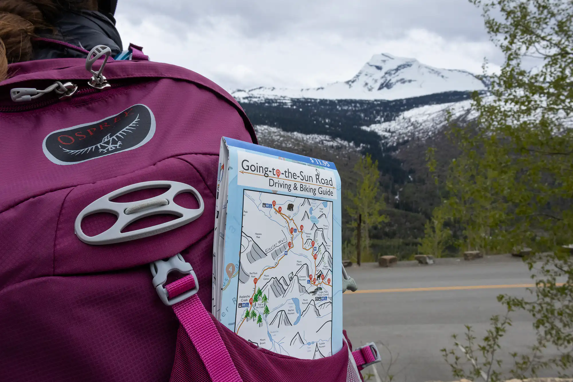
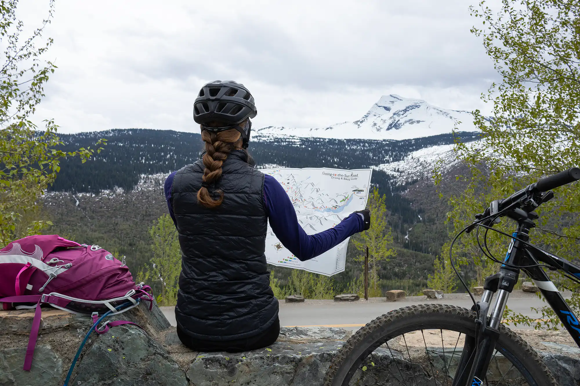
Whether you’re in a car, on a bus, or riding a bike, taking along this map is like bringing along an expert tour guide— you’ll find the right spots to park (plus tips on how to get a coveted parking spot at Logan Pass), have the perfect lighting for landscape photos, find short hikes to stretch your legs, and enjoy an immersive trip that will stay with you forever. This easy to read, hand-drawn map coupled with detailed descriptions let you know where to stop and what to look for along the way. Distances between stops help you know how far it is to the next destination or point of interest.
Bonus: Helpful tips and safety information for biking GTTSR in springtime, before the road opens to vehicular traffic.
FEATURES
- 32 stops along Going-to-the-Sun Road
- Hand-drawn map helps you identify features
- Springtime biking information
- Odometer mileages from both the east and west entrances
- Alternate directions if coming from the east side of the park
- Transit only option for those riding the Park’s free shuttle
- Waterproof map folds out to 26″ x 18.5″