GPS Tracks for Yellowstone National Park
$9.95
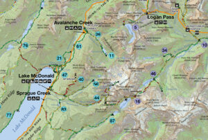
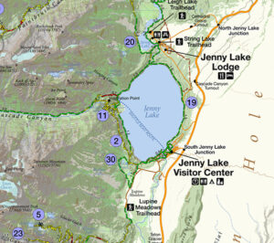
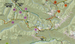
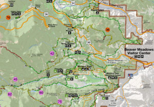
Every trail in Yellowstone National Park in high resolution to download into your favorite mapping application or GPS device. This data is derived from official trail data obtained through professional GPS units, and imaging from the National Park Service.
Description
This file contains of all of Yellowstone National Park’s maintained trails in the universal GPX format. Open the file in Google Earth, your favorite mapping application, or utilities such as Garmin’s Basemap. From there, you can plan your trip, select your trails or upload what you need to your device.
Notes:
- The file has been compressed (commonly referred to as being zipped) for faster downloads and will need to be uncompressed before using. Most modern operating systems contain that capability.
- The data is of very high resolution and may be too large for some older devices. Most utilities that upload to GPS units feature an option to simplify the data before upload. Using this method or only choosing specific trails is an easy workaround.
- This is only the data. For trip planning, uploading to a GPS, etc, other software will be needed.


