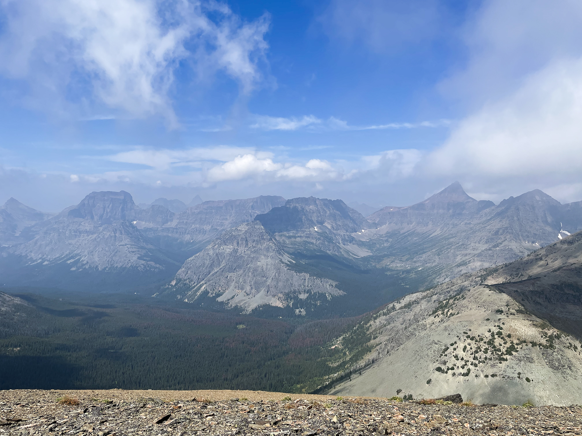
Rising to the west of Marias Pass lies a crumbling ridge of named summits. On the north end, a saddle-shaped summit known as Calf Robe Mountain makes for a fairly short climb with plenty of rewarding views in this quiet corner of Glacier National Park.
The bane of a hard earned summit is one shrouded in clouds, robbing you of the views. As we headed out in the morning to climb Calf Robe Mountain near Marias Pass, we were aware of this possibility, but were hoping that the clouds would lift by the time we found the top.
Under gray skies, we stepped onto the Firebrand Pass trail. Warblers and flycatchers were still singing in the riparian areas along the ponds. Sparrows flitted among the meadows that we dropped into with the fun stands of aspen all twisted black and white, but somehow symmetrical in their groups. The air was cool which was a nice change from the heat. Late summer flowers were no longer in their prime, but still adding splashes of purples, pinks, fuchsias, yellows, and oranges.
Unlike many of our climbs, the approach to Calf Robe Mountain is fairly short followed by a fairly straightforward and moderate climb. All told, the distance hiked is 3.5 miles with 2,800ft elevation gained.
After some research, we decided to take the standard “Northeast Ridge Route” which follows the Firebrand Pass Trail to the junction with the Autumn Creek Trail, heads north along that trail for a short spell to a large meadow with views of Calf Robe Mountain. At that meadow, you make your way up to the summit.
We passed the junction, went up over a ridge and found the flower meadow. The clouds obscured the mountain, but we were certain of the location and stepped off trail. At the head of the trail, taller vegetation almost made it a bushwhack, but gave up quickly as we entered the sprawling meadows that cover the ridges off the mountain. From there, we stayed on the top of the ridge that we were on. Low clouds teased us with some views and ground squirrels voiced their displeasure at our company.
As we ascended, larger, limestone boulders dotted the hillside warning us of the headwall we were approaching. The fog continued to lift and the headwall became visible. We were on the right track as we were heading to the left (south) of the headwall where the presence of vegetation told us that there was a slope that was navigable (vegetation rarely grows on cliffs).
This would be the hardest part of the climb, but nothing technical. Small, loose rocks/sand were interspersed between the pokey limestone and the route-finding was easy. Once on top of the headwall, the summit was clearly visible above a slope of meadows and krummholz below and rocky expanse above. We angled to the right to catch the ridgeline which we were going to follow up to the top.
Once at the ridgeline, new vantages appeared. We were now looking down onto the north bowl below Firebrand Pass with Lena Lake in the distance. Red Crow and Dancing Lady were some of the summits backdropping our view albeit shrouded in clouds.
A bit more effort and we summited Calf Robe. A stiff breeze was moving the moist air up the mountain where it would turn to fog and race over the ridgeline. We parked ourselves on the leeward side and had lunch. The clouds were indeed breaking up and our gamble paid off. By the time we finished our lunch, we could see for miles in every direction. A few persistent clouds would not let go of the summit of Summit Mountain to the south, but made it look all the more mysterious.
After spying on some bighorn sheep and hikers at Firebrand Pass, we turned around and headed down in the sunshine.


Leave a Reply