
It’s More Than Just a Map!
The Hike 734 Map Guide is an all-in-one hiking and planning resource. It’s designed to help you optimize your time and have amazing National Park adventures.
It’s more than a map, less cumbersome than a guidebook, and there’s no cell service or battery required!
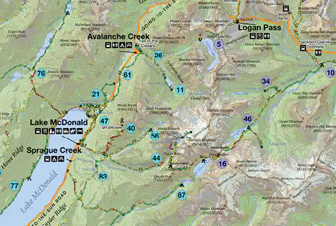
It contains all the visual information of a topographic hiking map paired with expert recommendations, plus trail and park specific details of a guidebook.
The ultimate resource for trip planning, on-trail navigation, and making decisions on-the-fly— like when you come upon a “Trail Closed” sign, unexpected weather rolls in, or your tired legs beg for an easier hike.
- Click on the blue mountain icons to learn about the features
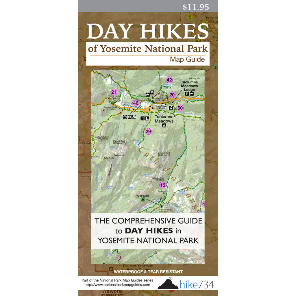
Front side: LOCATION, DISTANCE, & ranking OF ALL DAY HIKES
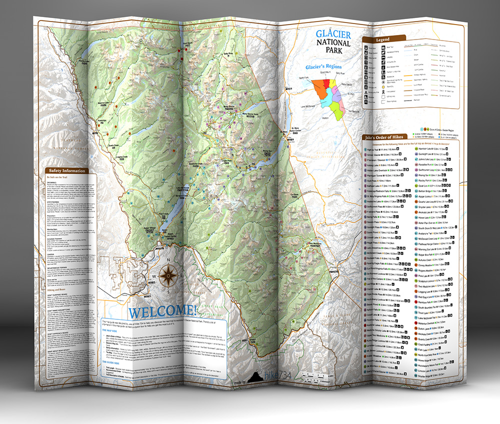
Back Side: TRAIL DESCRIPTIONS & important PARK INFORMATION

Who is it for?
Anybody wanting to maximize their limited vacation time
- First-time & repeat visitors
- Casual & serious hikers
- Backpackers
- Planners & spontaneous adventurers
- Families
- Photographers
- Flower sniffers
- Wildlife enthusiasts
- Map lovers
- Those looking for popular locations & those seeking solitude
The compact all-in-one design means it fits into any backpack, and it’s loaded with unique features and valuable information that make it a must-have for any hiker and National Park visitor.

Is there a map guide for every national park?
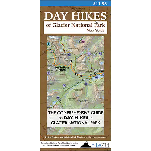
The Day Hike Map Guide collection consists of 7 National Parks— Glacier, Grand Teton, Olympic, Rocky Mountain, Yellowstone, Yosemite, and Zion.
There’s also a Driving & Biking Map Guide for Going-to-the-Sun Road in Glacier National Park.