Your cart is currently empty!
Flathead Ranger Station
—
by
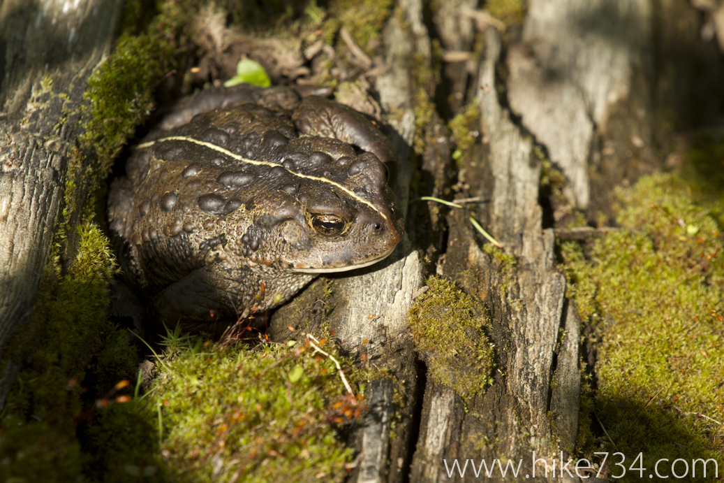
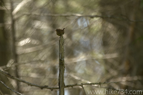
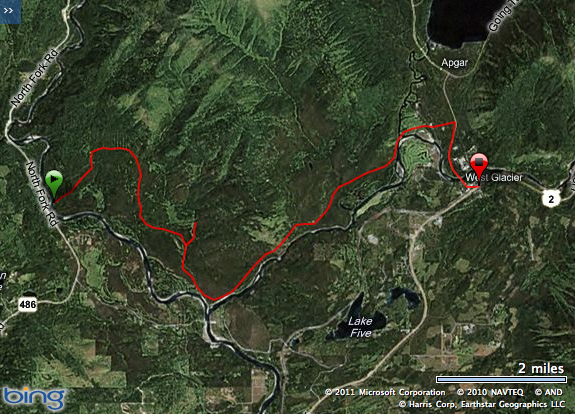
Got a ferry across the big, brown and fast North Fork Flathead River by Glacier Rim river access by my good friend Shawn Altenburg from Montana Elements to start out my hike by the old, long gone Flathead Ranger Station. This trail roughly parallels the Middle Fork of the Flathead River until it comes to the old site of the ranger station where you can see the two rivers come together and the Blankenship Bridge that goes over the two. The trail continues on and parallels the North Fork. From there it is less maintained, but still very nice as it goes in and out of burned areas where many wildflowers, birds, elk, deer, moose and a pack of wolves live. I didn’t get to see any big game on this trip, but loads of wildflowers and birds. Enjoy!
Comments
7 responses to “Flathead Ranger Station”
-
I really enjoy these videos, and watch them as soon as the link is posted on Facebook!
My only suggestion is: could you show the end of the hike, too? You almost always show the trailhead, then parts of the hike along the way… but what about the end? Is there still a building at the old Flathead Ranger Station? Were the building remains that you filmed the old Ranger Station?
I guess what I am saying here is the hikes are great; the plants, birds, and animals awesome; but you have been taking us into the woods and “leaving” us there. Each clip should show us the end of the hike, a conclusion, if you will. Maybe tell us the critique of the trail as you show a camera pan of the last 100 or 50 feet of the hike. Just an idea for a more “finished” feel.
This was just my humble opinion, and I will continue to watch every last one of your posts until your hikes are finished….
Michele in Helena, MT (who is enjoying Glacier Park vicariously through you!)-
Thanks Michele! I love the feedback. I have on some hikes, but it’s not that obvious I think. Sometimes the beginning and end are a place that I’ve shown a bunch like the Sperry trailhead. I’ll have to figure out how that will work, but it’s a great suggestion. Keep them coming!
-
-
My husband and I have long been curious about the “grid” that appears on the Yahoo maps (and on your map above) northeast of Glacier Rim, the starting point of your hike described above. Do you know any history of this site? Is this the Lime Springs to which you referred in the video?
-
It is curious isn’t it!? I believe that, back in the day, someone had purchased that swath of land and subdivided it to sell homesteads in there. There is actually a bit of private property in there. Check out http://maps.flathead.mt.gov/ims/default.aspx and browse around until you find the area and you can actually see that there are streets recognized and such. I believe that it would be a bit tricky to get your place built in there, however. I know of one family that has built a geodesic dome in there. They had to ferry everything across the water. It’s hard to think about how our National Parks used to have a lot of private property in them… but still have some left.
-
-
Hey Jake,
I have 196 miles left on your map. Got a question for you. To hike the Flathead Ranger Station only one way where do you park the car at the river. We went out to 486 and tried to figure out where we’d have to park it but weren’t very successful. There’s a pull out on the right side of the paveed road (going north) and what looks like a little trail that does down to where the big culvers drain water into the river. Is that it? Or would it be at Glacier Rim put in? Thanks so much! Sandi-
Whoa! Nice work! I had to open google maps to remember exactly, but yes, go to Glacier Rim and ferry (or wade if water is low enough) across the river. The trail starts just upstream from the Glacier Rim put-in, but expect finding it to be not super straightforward. The further in you go, the more obvious things become. 😀 Good luck!
-
Thanks so much for replying!! I may be asking a few more questions before I finish all of these. Just spent a few days in the Bob..beautiful! I think I met you when you were working at the Conservancy. 🙂
-
-
Leave a Reply