Andrews Glacier – 9.2mi / 14.9km

Visit one of park’s few remaining glaciers on this strenuous, but rewarding hike.
Begin by hiking up to the lovely Alberta Falls (see Alberta Falls for description). Continue up Glacier Creek, then follow along Icy Brook to The Loch (see The Loch for description). From this lovely lake, continue along its northern shoreline to the head of the lake. The trail finds Icy Brook again and continues across the creek to the signed trail for Andrews Glacier.
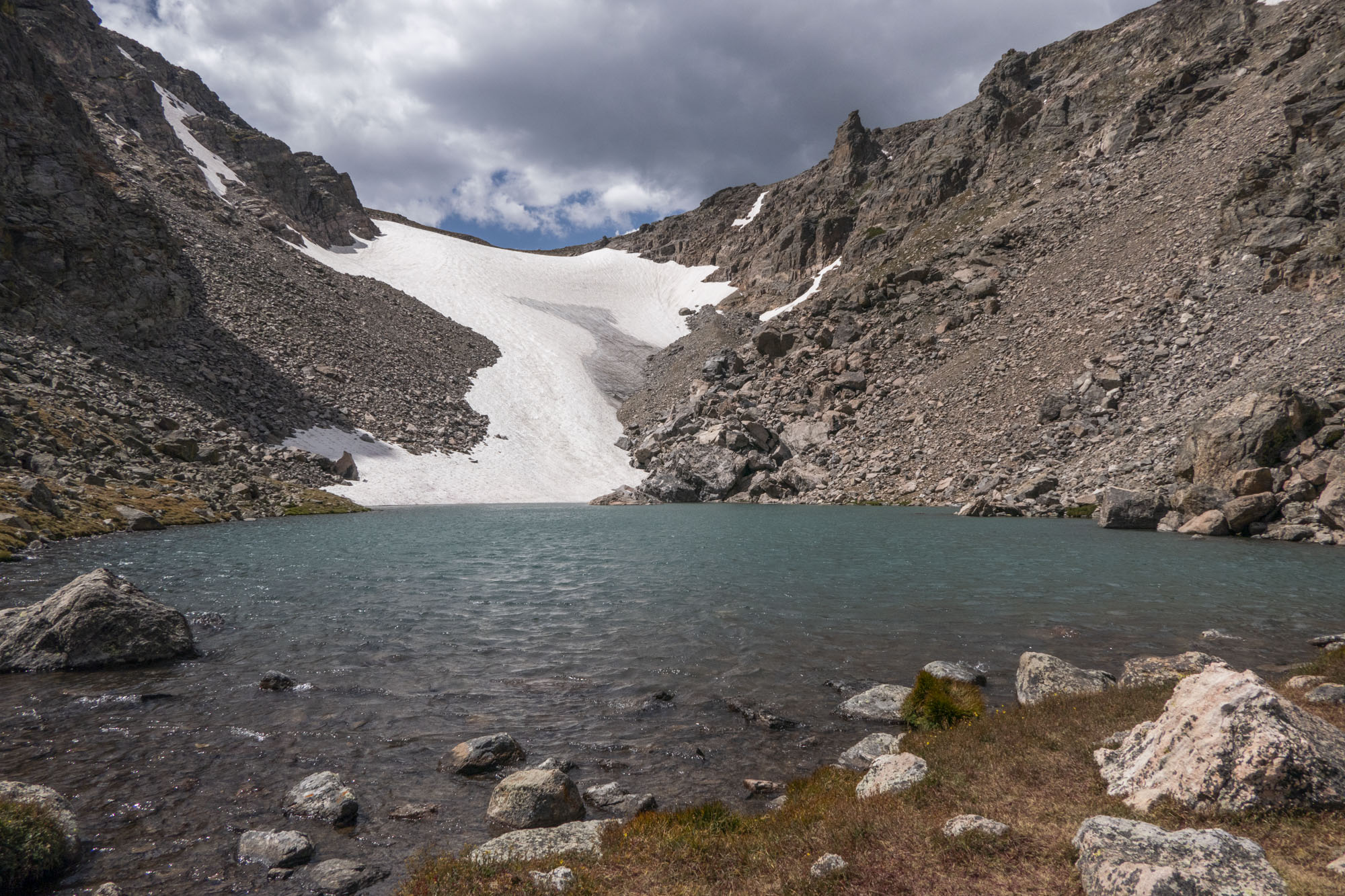
Immediately after crossing the creek take a right up the granite slab and the trail appears again. After a bit of climbing up through the forest, you emerge from the trees to an epic boulder field. The route can be tricky to find at times, but keep an eye out for cairns and pikas as you navigate the boulder field. As you get higher, a canyon named The Gash appears to the left capped with a triangular spire appropriately called The Sharkstooth. The trail steeply climbs up to the left of a snowfield at the head of the valley. Once above the snowfield, you come to the shores of Andrews Tarn, an emerald pool at the base of Andrews Glacier.
Trailhead: Follow Bear Lake Road to the Glacier Gorge Trailhead, or park at the Park & Ride and take the park’s free shuttle to the trailhead.
Elevation Gain: 2,300ft / 690m – Elevation Loss: 2,300ft / 690m


