Thunder Lake – 12.7mi / 20.4km
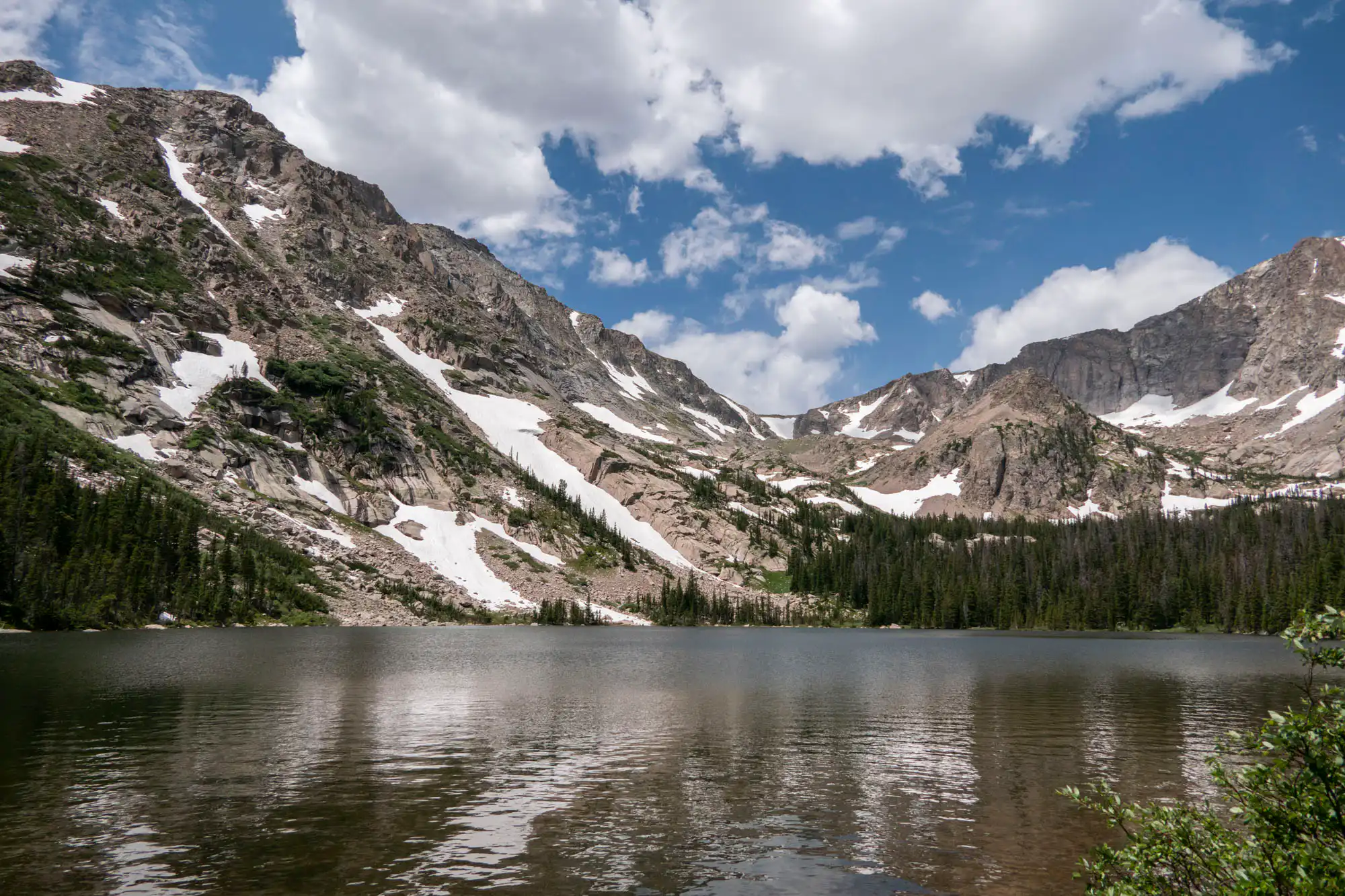
Although the forested shoreline of Thunder lake isn’t the most accommodating, there are many places to sit while enjoying Tanima Peak across the water.
The trail easily cruises through the bottom of the Wild Basin valley through alternating stands of evergreens and aspen. It doesn’t take long to come alongside North Saint Vrain Creek near Copeland Falls. Follow the side-trail to the left to come alongside the creek and witness the falls. Continuing on the side-trail brings you back to the main trail.
You’ll continue to observe the wonderful cascades of the creek as you work your way up the drainage. Before the trail crosses the creek, take a right at the junction which lists four campsites. You give up the easy walking for a bit of a climb as you briefly leave the creek, then rejoin it as you continue up through the forest. Follow the signs for Thunder Lake as you begin a steady march up the hillside with occasional glimpses of the wooded valley below.
You’ll know you’re close when you pass a few meadows and cross over the creek before dropping down to the lake. The surrounding meadows near the patrol cabin can be marshy, so watch your step. Continue along the lake’s northwest shore and find a nice spot to admire at the towering cliffs of Tanima Peak.
On the way back, follow the signs for Ouzel Falls for two more waterfalls and a change of scenery (see Ouzel Falls for description).
Trailhead: From Colorado Hwy 7, just north of Allenspark, turn onto Wild Basin Road. The Wild Basin Ranger Station and trailhead is 2.2mi/3.5km past the entrance station.
Elevation Gain: 2,400ft / 720m – Elevation Loss: 2,400ft / 720m