Your cart is currently empty!
Climbing Clements Mountain
—
by
Every once in awhile I like (love) to take off my camera and binoculars and trade it for the lightest running pack I have. On Sunday, Kristen and I lightly loaded up our running packs and headed for the hills.
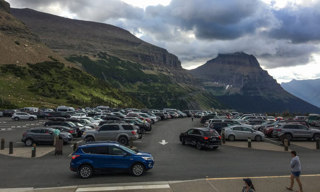
We arrived up at Logan Pass in Glacier National Park along with a string of cars around 7:30am and found a parking spot. There were not many left. Here’s my big, national park pro tip: Eat your breakfast at the trailhead! We sat in our car, ate our still warm breakfast and watched as the parking lot finished filling up by 8am.
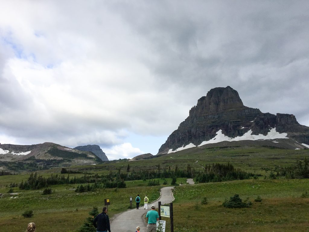
We headed out on the Hidden Lake Trail to go and climb Clements Mountain. Just past the visitor center we looked up at Clements Mountain towering over the boardwalk. Our next stop? Hidden Lake Overlook.
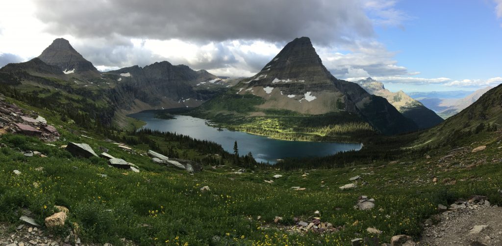
While very busy, the view of Hidden Lake Overlook never gets old. It’s always changing with the clouds, the light, the snowpack. To the west, we had clear skies, but as the chilly wind moved the air up into the mountains, clouds were forming. This cloudy ceiling blocked the sun and its warmth.
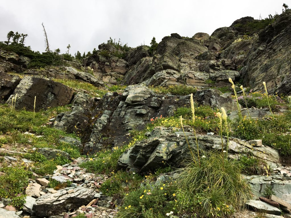
We continued past the overlook as the trail began to drop down to the lake’s outlet. The climber’s trail took off from the main trail and we began our traverse up the flowered, terraced slope. Instead of following the trail all the way to the saddle between Mt. Cannon and Clements Mountain, we broke a bit early and did some moderate climbing/scrambling up to the ridge.
From our new vantage, we could see the entire ridgeline to the summit. Clements had been my very first summit in Glacier and I remembered the super fun and kinda sketchy goat traverse on the last main hump before the final push to the top.
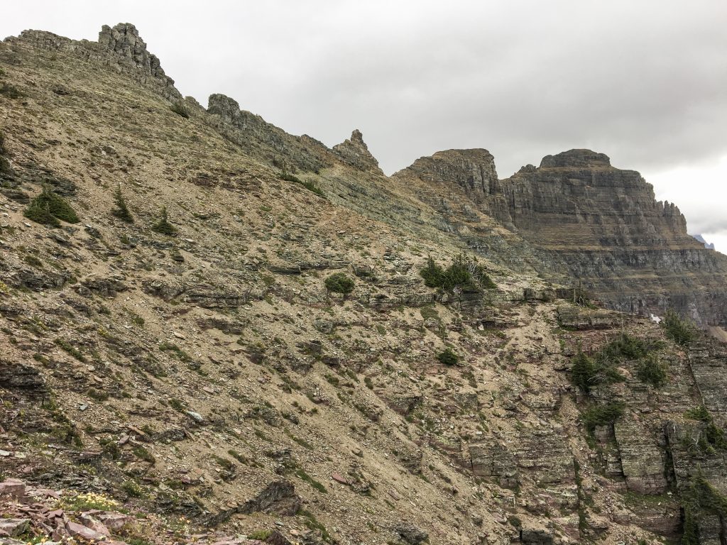
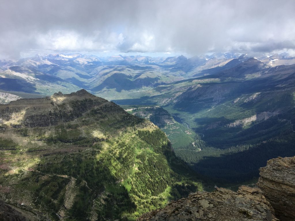
We found a nice goat trail that took us to the ridge where views down into Birdwoman Basin popped. From there, we worked our way up until we arrived at the sweet goat traverse. This one is not for those with a fear of heights. It’s very navigable and a decent shelf, but the drop-off isn’t messing around. The views, however, are incredible! We also spied a White-tailed Ptarmigan along the way. 😀
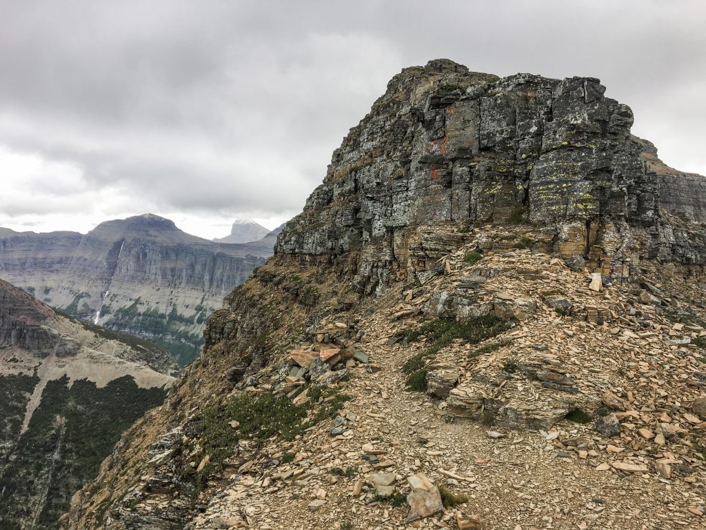
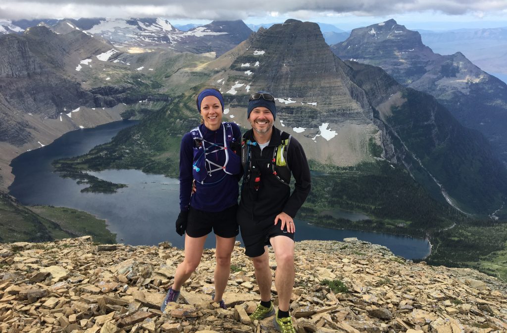
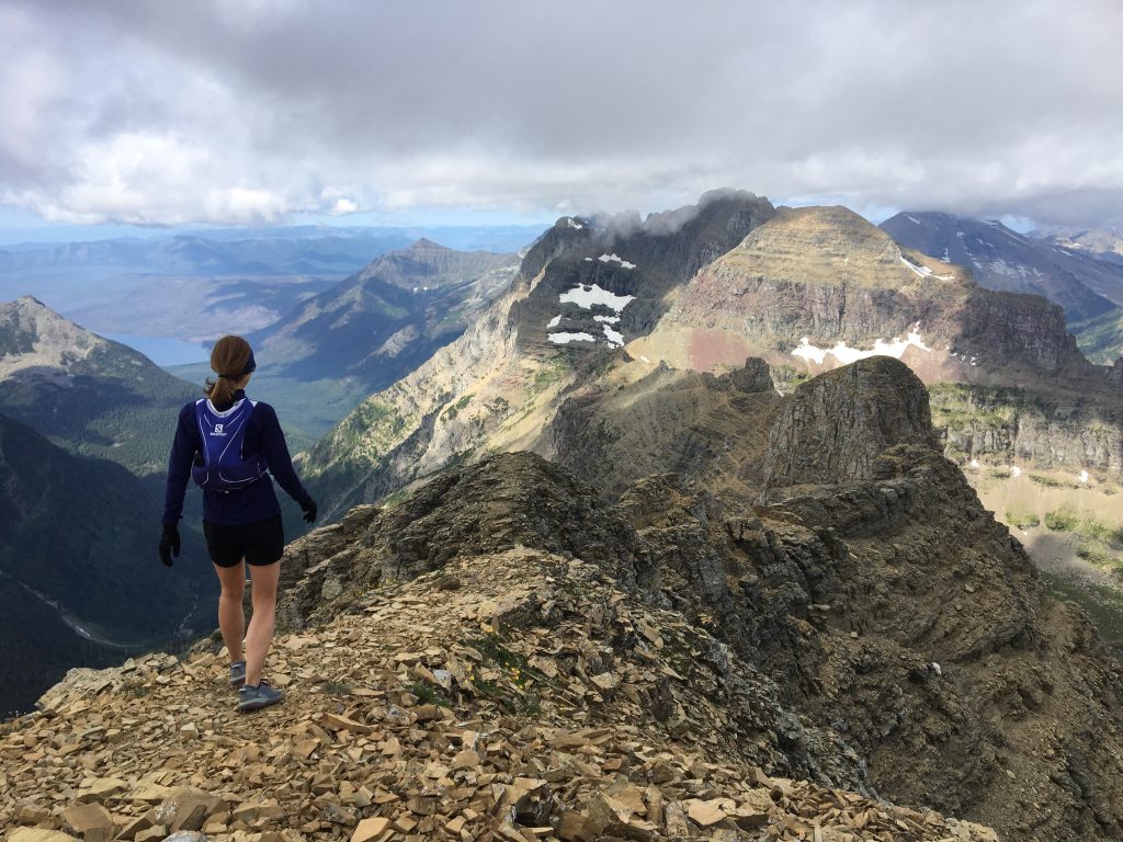
Once past the longer-than-I-remember goat traverse, we had the ridgeline push to the summit. A little picking around and mostly following the ridge led us to the top. We randomly rand into a friend of ours who we seem to randomly run into often when we get in Glacier National Park! Emily took a few pictures of us hanging around the summit.
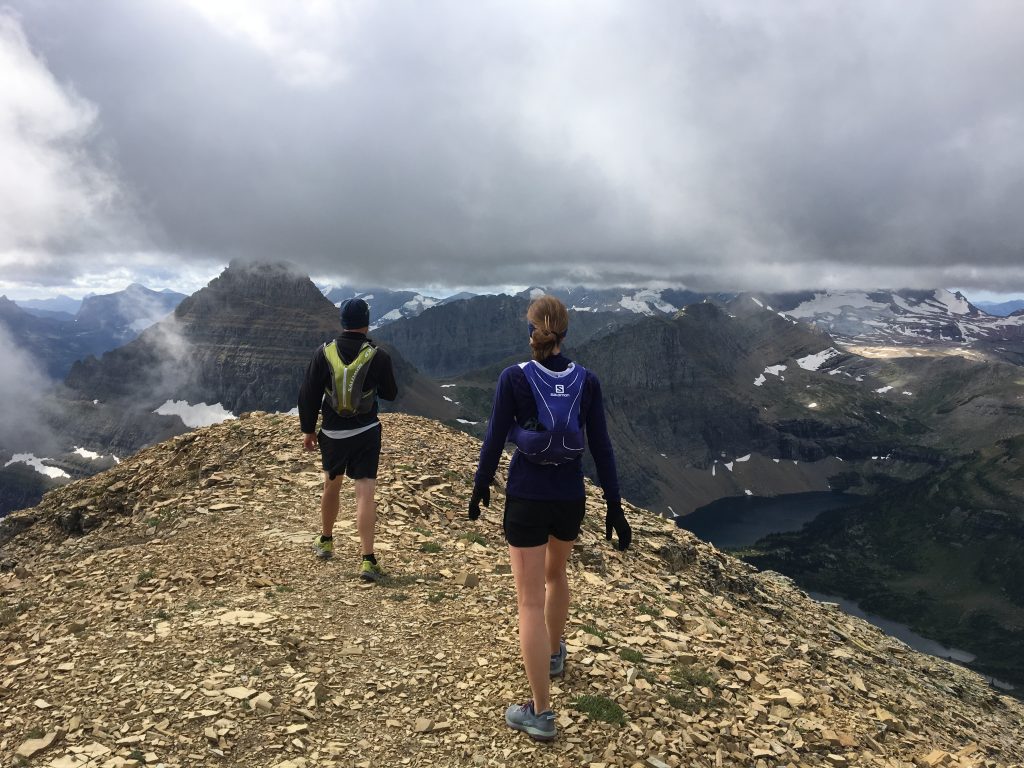
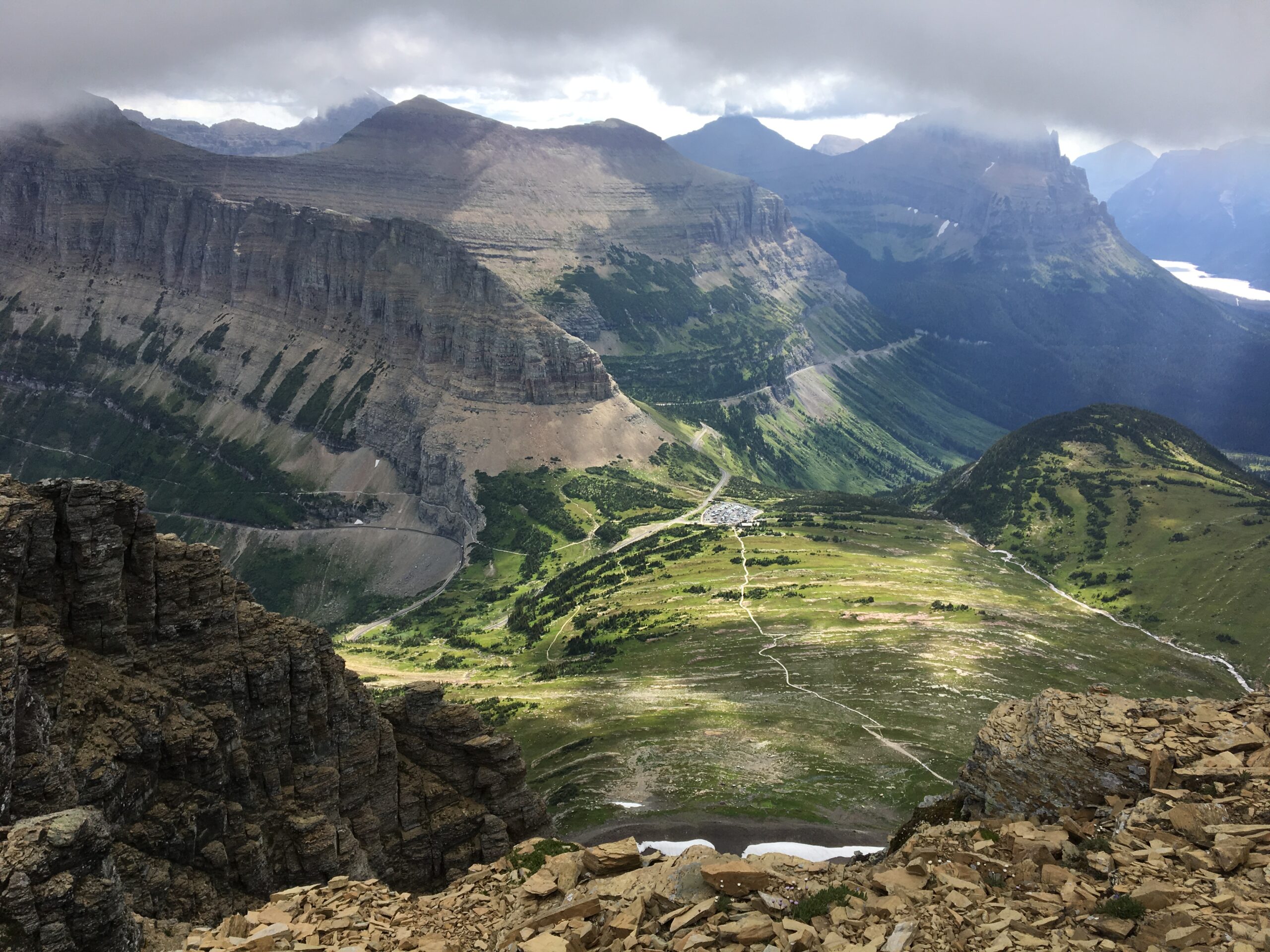
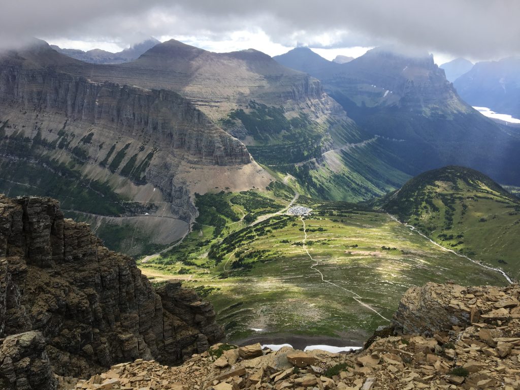
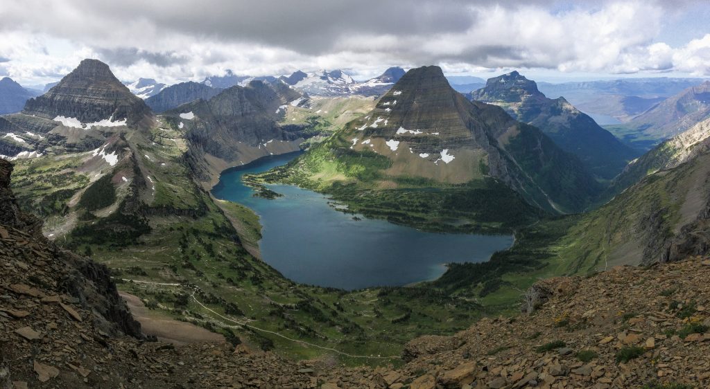
I love the views from the top looking down at Hidden Lake and over to the Logan Pass Visitor Center. These sprawling views are humbling and I love that overwhelmed feeling I get from plopping myself in the middle of it all.
The sun was not able to break through the clouds long enough to negate the chilly effects of the stiff wind. It didn’t take us very long to turn around and begin our descent back down. We found a little spot with a little wind and a little sun where we had some lunch.
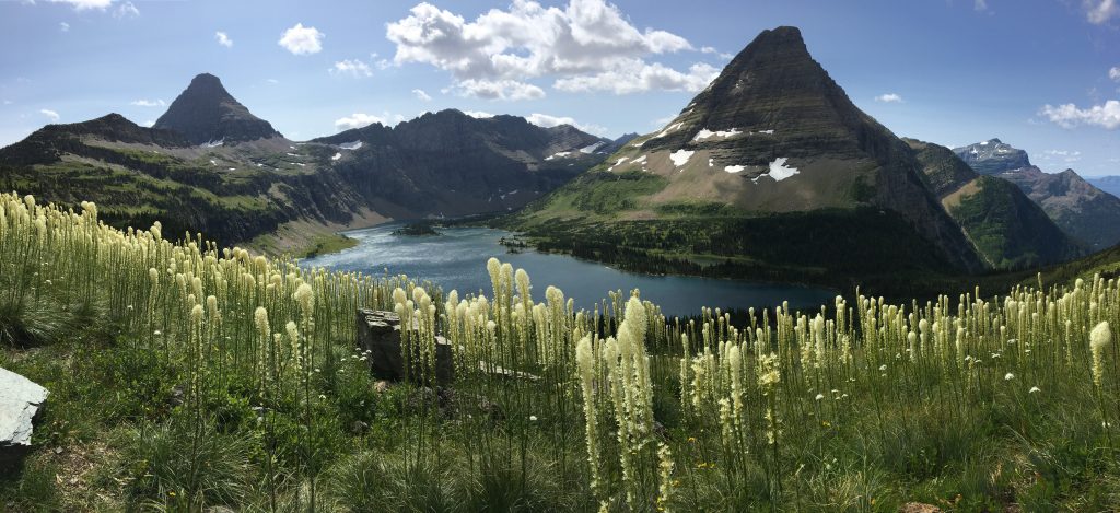
Of course I couldn’t help myself to take a couple more photos of Hidden Lake on my way down. While we were past the peak bloom of Beargrass, we still found a few jaw-dropping stands of them.
From Hidden Pass down to the visitor center, we jogged out the rest of the way. A delighted family took our parking spot as we pulled out and headed home.
Comments
17 responses to “Climbing Clements Mountain”
-
As a 52 year old flatlander from NY I did this hike a couple weeks ago on my trip to Glacier, only slower and minus the running! My strategy has become the same as yours, I have several hikes in mind for the day with my first choice being my first stop, sometimes as early as 630am. After that I can relax. When my first hike is done I have 3-4 choices in my direction of travel and the first one I come across that has a parking space is my next stop, no exceptions, so both breakfast and lunch are in a trailhead parking lot. Not very scenic but functional.
-
What is the mileage on this hike?
-
I’m not exactly sure to be honest. It’s a climb, so the elevation and experience climbing and route-finding are more important than the mileage. It’s not a long climb, however, but it’s not a hike either. 😀
-
Standard route is 9 miles round trip with 2300 elevation gain.
-
Thanks Chris!
-
-
-
-
Jake, relating to your getting to the trailhead early comments: We are hiking the Highline next week, in previous post you recommend parking at the loop and catching the first shuttle to Logan Pass to start, would this still be your current recommendation? Thanks!
-
My recommendation is “probably”. 😀 I think you’ll be waiting for a shuttle either way. I know that they keep a couple of seats open for the ride up (the first shuttles load up almost to capacity from the visitor center). I suppose if you just bust it up to Logan Pass, the line might be super miserable waiting to get back up. I suppose you can see if there is a parking spot at the Loop. If there is, take it and be prepared to wait a bit. 😀
-
-
Jake!
I follow your Hike 734 almost fanatically and can never thank you enough for all your posts, photos, comments, and knowledge. I lived at Glacier Meadow RV Park during the summers, basically since 2009 when I worked at Logan Pass (Best summer of my life)! The past two summers, unfortunately, have kept me home on our farm (which I also love), however being able to still experience Glacier through your eyes and all the familiar trails, is nothing short of heavenly for me. Please be safe and keep on keeping on! ☮️?☯️
?Namaste
-
Jake I would encourage people to not take Clements for granted. A minor injury up there can lead to a rescue. For most a light running pack and running shoes would be insufficient. I recommend enough supplies to cover an emergency overnight stay, layers for weather changes, boots that support the ankle and can protect from scree and talus, and always wear a helmet when there is a risk of rock fall. Don’t forget to fill out the voluntary climbing registration at the visitor center or a ranger station.
-
Thanks Bev! I’m glad I can give you your fix… until you come back. 😀
-
-
When totaling mileage from your hiking Glacier map (to reach 734) are you counting a 10 mile out and back as 5 miles of trail or 10 miles?
Love your site and all your posts, keep up the good work. Look forward to seeing you some day in the tail.
I’ve made it my goal to hike all 734 miles, currently I’m at 360. I’ve a period of years.
John
Sandpoint, Idaho -
Can I ask…what kind of shoes are each of you wearing…we have boots, but seeking to add a more flexible alternative (low cut, or sturdy trail runners)…thank you!!!
-
I wear Salomon trail runners. My wife doesn’t because they don’t fit her feet well, but she wears trail runners as well. I like them because they have aggressive soles and don’t give blisters. My opinion is that you are more nimble in lighter shoes. Some people need a heavier boot, but for most everything I do, trail runners work well. If I need crampons or snow shoes for extended periods or when it starts to get cooler, I’ll put on boots.
-
-
Jake,
Just a short thank you note for your blogs and the effort put into your map products – my wife and I took my parents to Glacier, Yellowstone, and Grand Teton last year and your maps proved invaluable to us in planning appropriate, thoroughly enjoyable hikes for my retired, yet still adventurous, parents.-
Yes!! I love that you’re able to get out there with them.. and humbled to be part of it. 😀
-
-
My wife and I are headed to GNP the second week in September. This is out first trip to GNP and I just ordered your day hikes map. I am interested in the hike to Clements Mountain. I do not see this hike included in your list of top day hikes. Will your map help us navigate the trail to the summit?
-
Hello John! Clements Mountain is a climbing route, not a hike, so you won’t find it on my map. If you’ve never visited Glacier before, I would strongly recommend hiking around first. Too much to see from the trail with incredible views… including hiking to overlooks and summits via trail. If you want to get some off trail hiking, I would look into hiking up Oberlin first. Regardless, check out the climbing books and sites dedicated to climbing for route information. I shy away from details because it’s more involved and I don’t want to give 60% information and have people get in over their heads.
-
Leave a Reply