
Your cart is currently empty!
Search results for: “what's in our backpack”
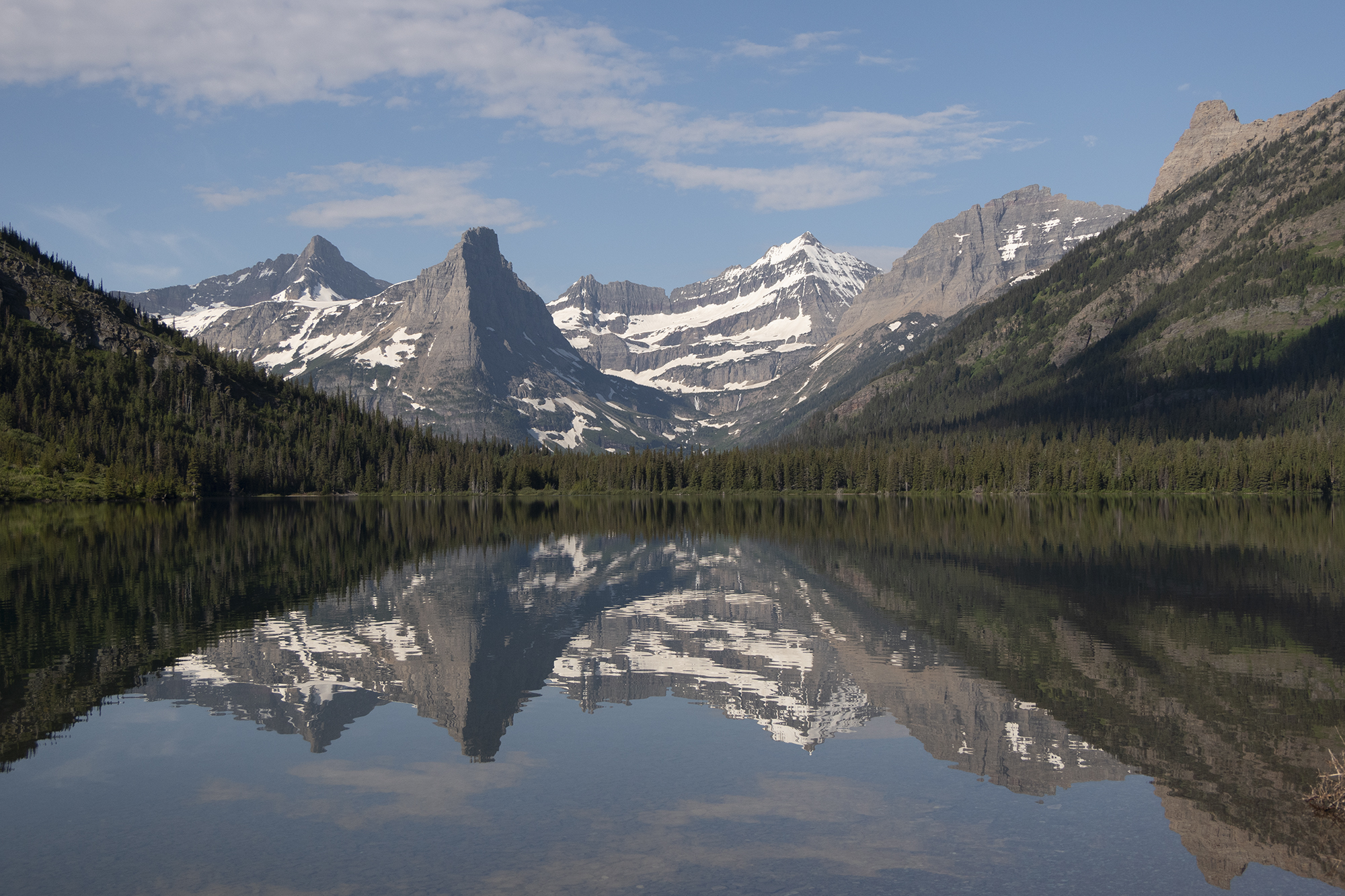
Cosley Lake Looning 2022
—
by
The Belly River area of Glacier National Park is such a fantastic background location. We headed out to do Common Loon surveys at Cosley Lake and Glenns Lake which is up in the Mokowanis River drainage. Perfect weather, wildflowers, big mountains, a roaring waterfall, and pristine lakes (with not TOO many mosquitos) made for a…
Contact
—
by
General I’d love to hear from you! Send in a hello, question, comment, etc and I’ll do my super best to get back with you. Make sure that you check out my blogs on backpacking before dropping me a line to increase your chances of me helping you. Note that during certain times of the…
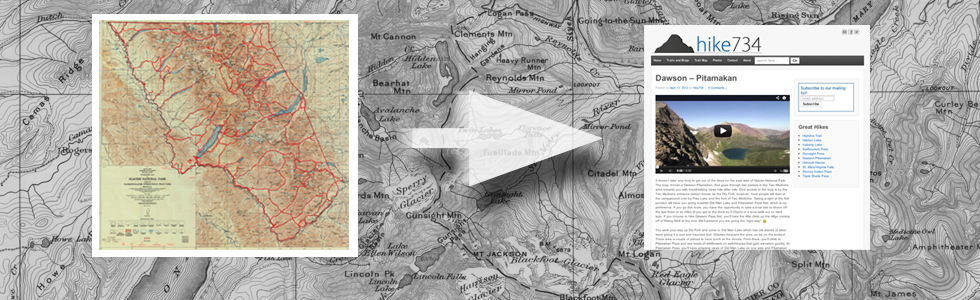
Maps for Trail Nerds
—
by
All about maps with Glacier National Park and how I got to my mileage. Links below the video for some sweet source material that I’ve been using or just been enjoying. Also, check out the businesses mentioned. Check out Rocky Mountain Outfitter for great advice and gear before you head out. UPDATE: I made my…
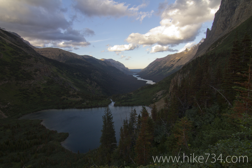
Stoney Indian Pass
—
by
The Belly River area in Glacier National Park offers numerous rewarding backpacking experiences. The Belly River drainage heads up to Elizabeth Lake, passing the powerful Dawn Mist Falls. The trail passes right above the falls and gives you a great look down while a spur trail lets you see them from the bottom and get…
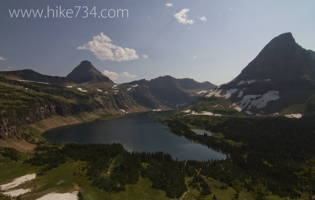
Hidden Lake
—
by
One of the most popular hike in Glacier National Park is the trail off of the famous Going-to-the-Sun Road called Hidden Lake. This trail starts up in the alpine meadows at Logan Pass putting visitors into the heart of Glacier’s high country. While standing at the visitor’s center, look across the parking lot to the…
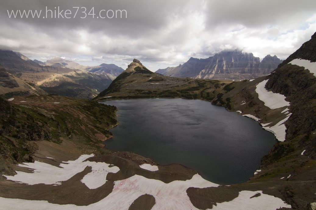
Northern Highline Trail
—
by
A stretch of the Highline Trail, known as the Northern Highline Trail, that is not seen by many day hikers, is just as impressive as its more popular counterpart. It is used by backpackers seeking to go from Logan Pass to Waterton, complete a loop called the “Northern Circle” or by Continental Divide hikers looking…
Interactive Map – Southern Section
—
by
Click on a trail to see the associated blog! For the best Glacier National Park map to take on the trails, purchase the topographic Hike 734 Day Hikes Map with a guide on the back (pictured below). Perfect for both day hikes and backpacking! Back to Main Map
Glacier National Park Trail Map
—
by
Click an area below to take you to a closer look of the area and the trails. For the best map to take on the trails, purchase the Hike 734 Day Hikes Map with a guide on the back (pictured below). Perfect for both day hikes and backpacking!
Interactive Map – Lake McDonald Area
—
by
Click on a trail to see the associated blog! For the best Glacier National Park map to take on the trails, purchase the topographic Hike 734 Day Hikes Map with a guide on the back (pictured below). Perfect for both day hikes and backpacking! Back to Main Map