Huckleberry Lookout and Huckleberry Nature Trail

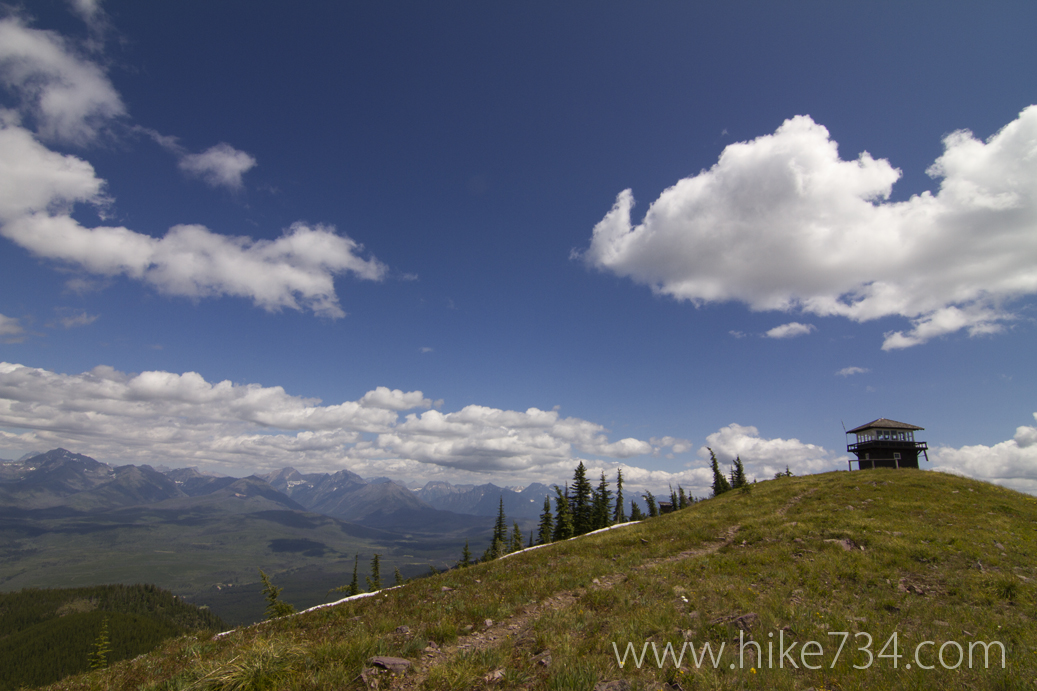
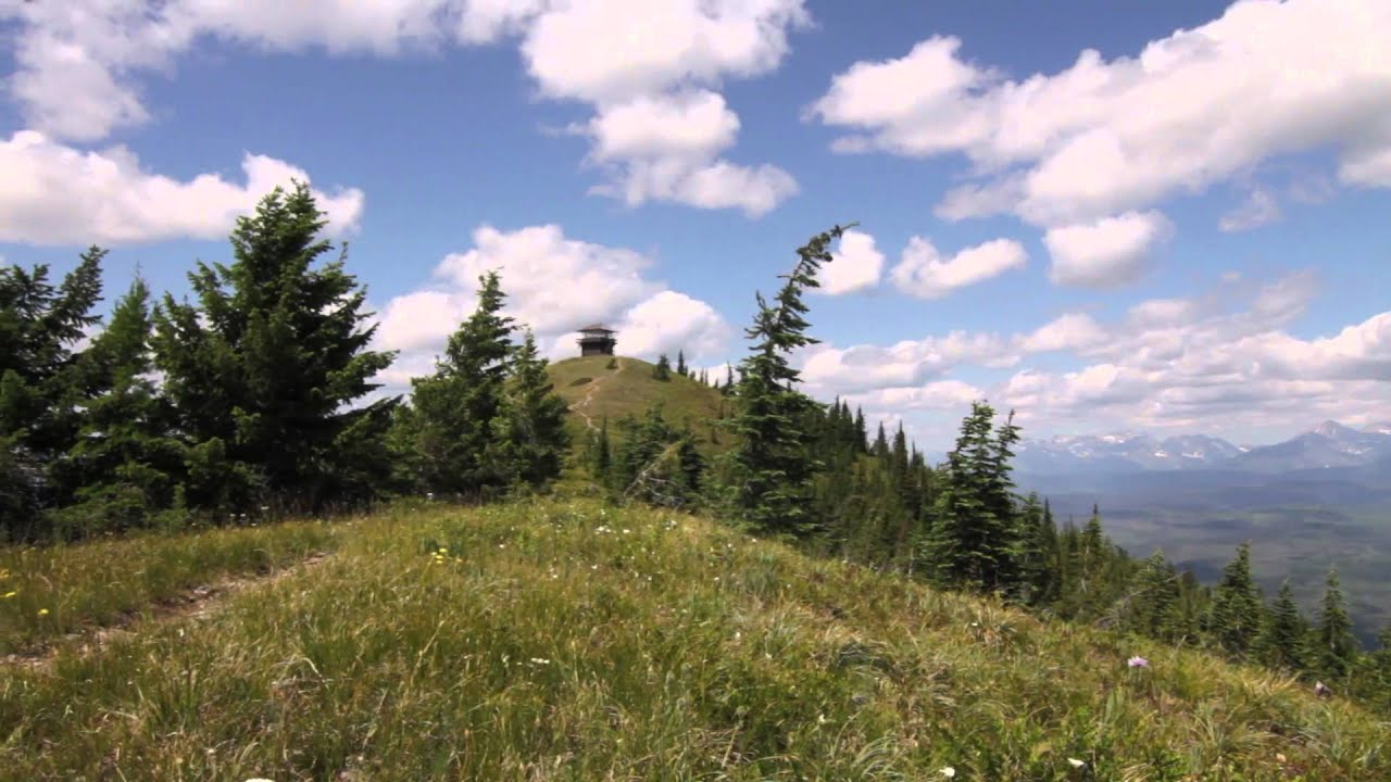
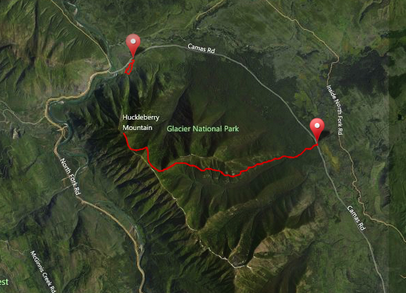
Just off of Camas Road in West Glacier is a trailhead for Huckleberry Lookout. Huckleberry Lookout is one of the few remaining staffed lookouts (some still stand, but aren’t staffed while others were dismantled or were destroyed by natural forces). The trail is 6 miles to the lookout with a nice even grade starting out in pine and fir forests and breaking out with panoramic views as you approach the lookout on the ridge. Once at the lookout, you can see the North Fork of the Flathead River, up into Canada to the north and the Livingston Range in Glacier to the east. Expect to see loads of wildflowers, birds, squirrels and chipmunks. Black bears are also very common and starting in mid-July you can find huckleberries ripening and you can follow them up in elevation as they ripen into later August.

Huckleberry Nature Trail is a short hike that’s a little over 1/2 mile long. It was originally an interpretive trail for a 1967 fire with signs and a pamphlet showing the forest recovering from a fire and how it’s a natural process. In 2001, another fire burned through the area relegating all of these signs useless and resetting the recovery of the forest. You can now walk the trail and the interpretation is more or less up to you.
Huckleberry Lookout
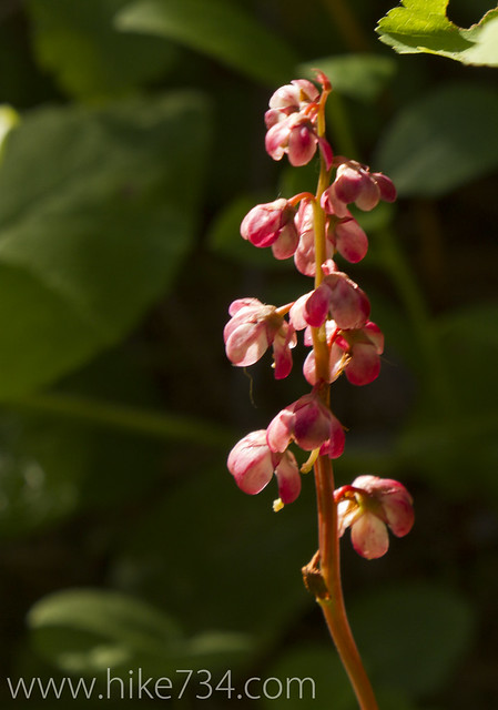
Pink Pyrola

Get our sweet newsletter!

(and your free “10 Insider Tips for Glacier”)

Lists

Comments

8 responses to “Huckleberry Lookout and Huckleberry Nature Trail”

  1. Does John in the manned look-out at Huckleberry drive, hike or bike to his station?? Love that view, not sure I would want to be that isolated in my job, but kudos to him!

    1. Well, I’m not sure how he gets to the trailhead, but after that, I think he walks most of the time, but may take a horse with one of the supply trains that bring up supplies. While his job isn’t the most social, that particular lookout gets way more traffic than lookouts such as the aptly named “Loneman Lookout”. He told me the previous weekend he had over 50 people swing on up there!

  2. Mike Kinsella Avatar
    Mike Kinsella

    What’s the elevation change to the lookout?

    1. Net elevation change is 2700… with the slightly undulating terrain, it is a shade above 3k.

  3. kelly kralicek Avatar
    kelly kralicek

    One of my favorites. The first time I took that hike it was guided and had an encounter with a grizzly sow and two cubs… I still hear the “whoof” mamma bear made to get her cubs up the tree! We were just far enough away to make it enjoyable!

    1. hike734 Avatar

      Um, yeah, we are not big fan of when bears are whoofing.. that’s generally not a great thing. 😉

  4. Trena Eyestone Stevenson Avatar
    Trena Eyestone Stevenson

    Is this close to the Big Creek Campground off the North Fork Road? Possibly on the opposite side of the Camas Road? I was just there last week and saw an amazing mountain I just HAD to climb and after squinting at many maps this is the trail I came up with.

  5. Meghan Lamson Avatar
    Meghan Lamson

    My dad suggested I bring the guy a watermellon. Wasn’t about to carry it all the way up there without knowing if John even likes them. I asked and he loves watermellon if anyone wants to drag one up there 😉

Leave a Reply

Your email address will not be published. Required fields are marked *

This site uses Akismet to reduce spam. Learn how your comment data is processed.