GPS Tracks
The Maps
-
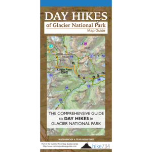 Day Hikes of Glacier National Park Map Guide$14.95
 -
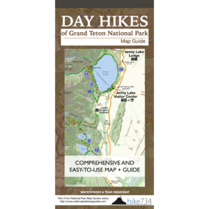 Day Hikes of Grand Teton National Park Map Guide$14.95
 -
 Day Hikes of Olympic National Park Map Guide$14.95
 -
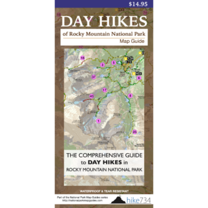 Day Hikes of Rocky Mountain National Park Map Guide$14.95
 -
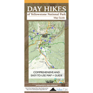 Day Hikes of Yellowstone National Park Map Guide$14.95
 -
 Day Hikes of Yosemite National Park Map Guide$11.95
 -
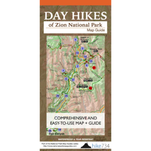 Day Hikes of Zion National Park Map Guide$14.95
 -
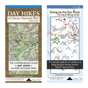 Glacier Day Tripper’s Package$24.95
 -
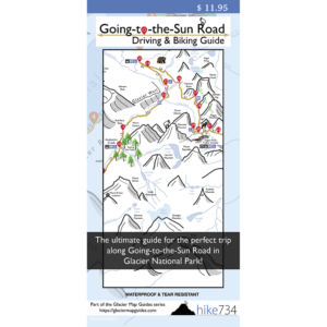 Going-to-the-Sun Road Driving & Biking Guide$11.95
GPS Tracks
Available as GPX files to download to compatible GPS devices
-
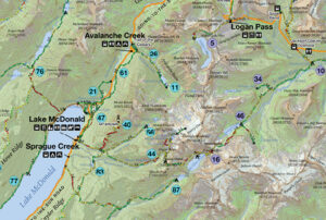 GPS Tracks for Glacier National Park$9.95
 -
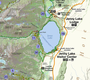 GPS Tracks for Grand Teton National Park$9.95
 -
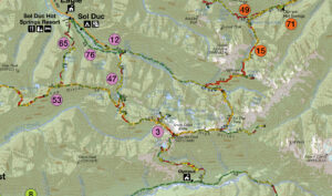 GPS Tracks for Olympic National Park$9.95
 -
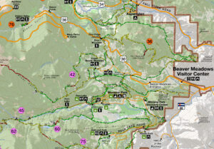 GPS Tracks for Rocky National Park$9.95
 -
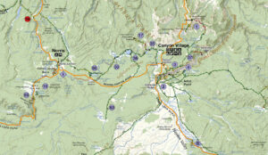 GPS Tracks for Yellowstone National Park$9.95
 -
 GPS Tracks for Yosemite National Park$9.95
 -
 GPS Tracks for Zion National Park$9.95
The Story
-
 Hike 734 Presentation – Digital Download$9.95
 -
Product on sale
 Hike 734 Presentation – DVDOriginal price was: $12.95.$9.95Current price is: $9.95.

