

Avalanche Peak in Yellowstone National Park is a short, steep hike gaining over 2,000ft of elevation gain in approximately two miles. The rewards for your efforts are in epic views that come in spades. While the first half of the hike is in the trees, the second half is on a lunar landscape with peaks and lakes in all directions.
Avalanche Peak is found along the East Entrance Road halfway between the lake and the actual entrance. The trail starts near Eleanor Lake and begins to steeply climb immediately. There are no views to speak of as you climb through a rather pleasant forest. Small birds, mammals and the occasional deer can be seen amongst a variety of forest wildflowers.

As you gain elevation, the trees change to more and more of an alpine forest and transition once again to an old beetle kill area with a stand of gnarled, silver trees. The flowers in this area are incredible. This takes you to the bowl below Avalanche Peak and the transition from a primarily forest landscape to a rocky, alpine landscape.
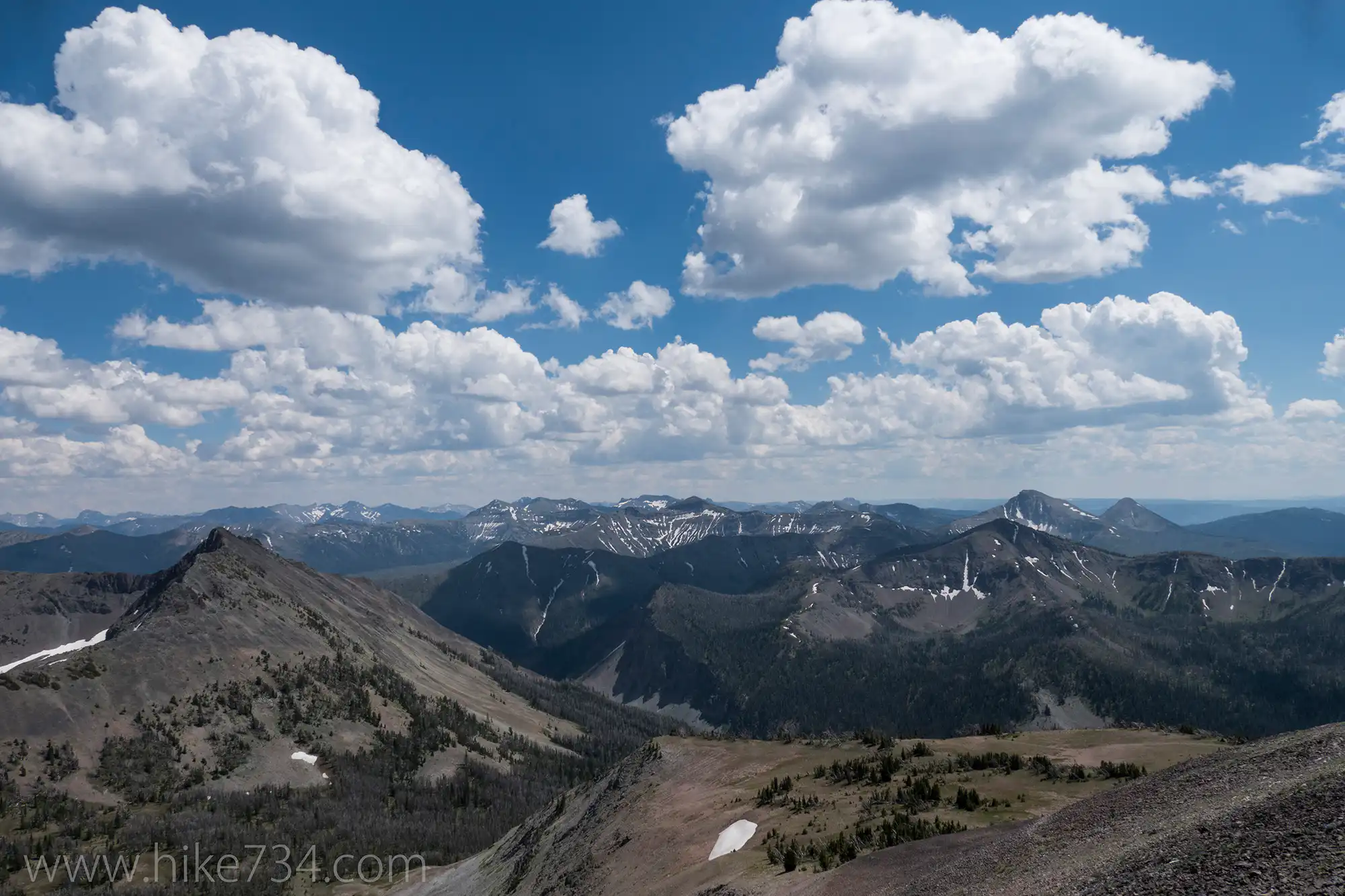
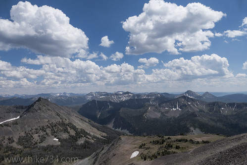
The trail moves to a ridgeline extending south and climbs in steep switchbacks. While similarly steep like the earlier sections of the trail, this one affords you breathtaking views of the impressive surrounding mountains and expansive Yellowstone Lake. This area is dryer and rockier, so the fauna transitions from the taller flowers such as arnica and columbine to the low growing skypilot and ground cover such as phlox. Keep an eye out on the surrounding summits and ridges for bighorn sheep and elk as well as pika, golden-mantled squirrels, and yellow-bellied marmots amongst the rocks.
Eventually, you crest the summit ridgeline where a couple knobs vie for the title of actual summit. The 360 degree views make every step worth the effort. Beautiful drainages, rocky summits, green ridges, small pocket lakes tucked in valleys, and the incredible Yellowstone Lake all compete for your attention.
Make sure that you have a rain jacket and hat for the top can be cool and windy. Also be alert for thunderstorms as you are incredibly exposed for a large portion of the hike. One alternative way to get back down is to continue along the ridge to a popular unofficial trail the continues down the other side of the bowl. The trail forks with the right fork going to the top of another knob, while the other trail to the left wraps around this knob and down to the bowl. If you take this route, make sure you study the terrain. While fairly obvious, pay attention to avoid heading down the wrong drainage.
Overall, a sensational hike for those capable of gaining and losing elevation in such a steep manner.
Leave a Reply